


2026 Challenge Reflection #6:
Skyline Races Half Marathon (Virtual)
A couple weeks ago I added a new challenge to my goals for July. It just said: ‘run to the lady.’ I discovered it was possible when members of the local run club that I follow on Strava logged their semi-annual club run up there. Upon further research, I discovered the Continental Divide Trail was accessible from there and then connected with a popular local trail that I’ve never seen the top of: Maud S. Canyon. I was officially committed. I mapped my Strava route, carved out a day on my calendar and packed my gels. I was ready.
The Plan
I decided to map a route up the access road to see our lady of the Rockies, over the continental divide trail and down Maude s canyon. The route had a total of just over 13 miles distance with around 2500’ of elevation gain. The easiest way to conceptualize this is in 3 parts:
Access Road to Our Lady of the Rockies Viewpoint
Continental Divide Trail Connector
Maude S Canyon Trail - Top to Bottom
Section 1: Access Road to Our Lady of the Rockies Viewpoint: 6 miles and 1950’ of vert
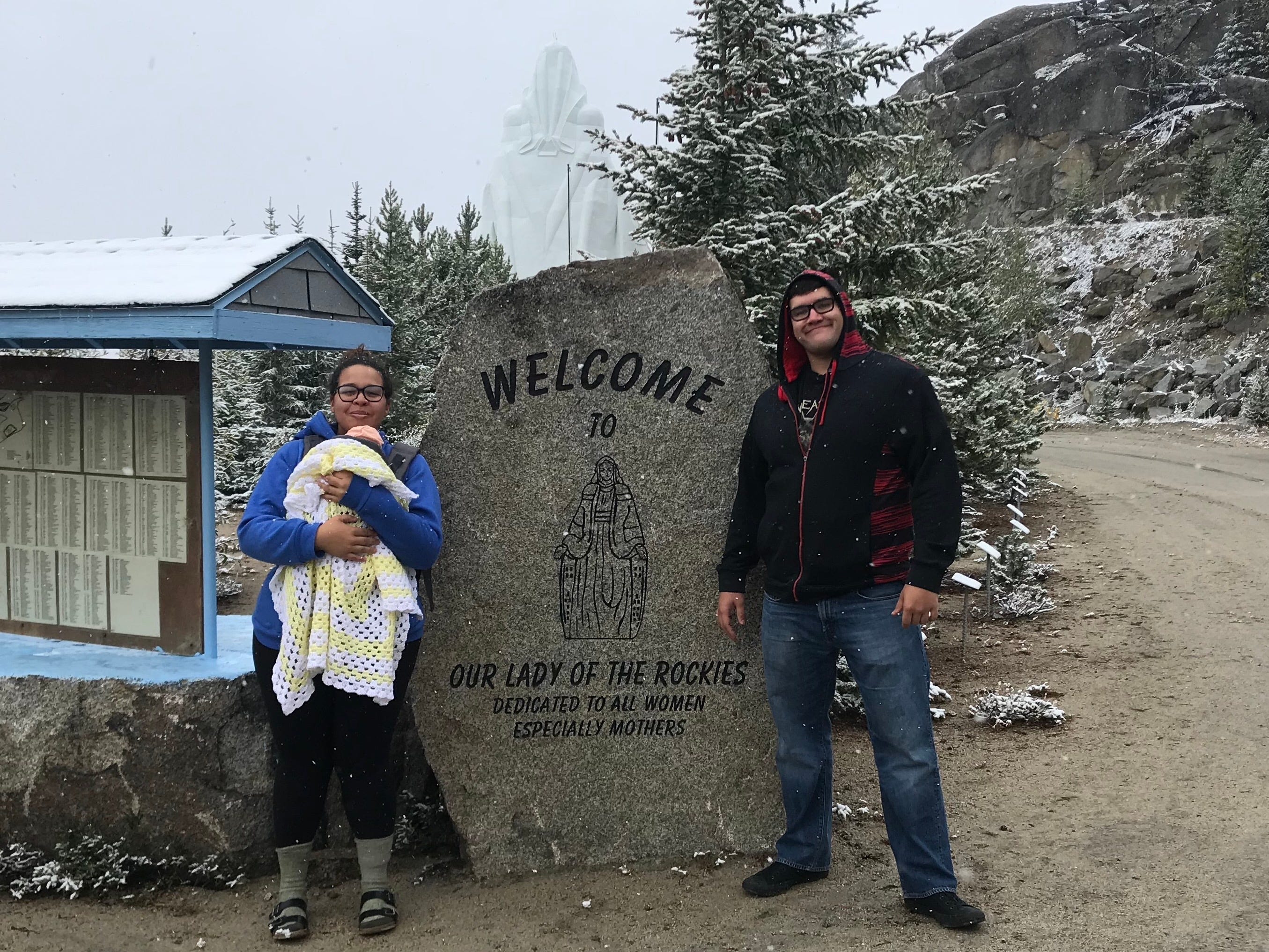
The first section of this trek was just up the access road taken by the shuttle bus to transport visitors. I have taken this tour one time and I remembre the ride being agonizing. It was slow and bumpy and someone thought it’d be a nice trip with my 3 week old baby. I would never recommend that to anyone
Nearly all of the elevation gained was during this section of the trek. It felt as though I was power hiking uphill the entire time and there was definitely more than one point where I questioned my sanity in this decision.
The shuttle passed me twice in this upbound section, both going up to see the Lady and coming back down. This exercise in humiliation saved me $35 since that is the cost of a tour for any interested adult. This also meant I had to scramble over the third gate since it was locked - what a rebel.
This section of my trek was about 6 miles long and 2000’ of elevation gain. It definitely left me questioning my choices.
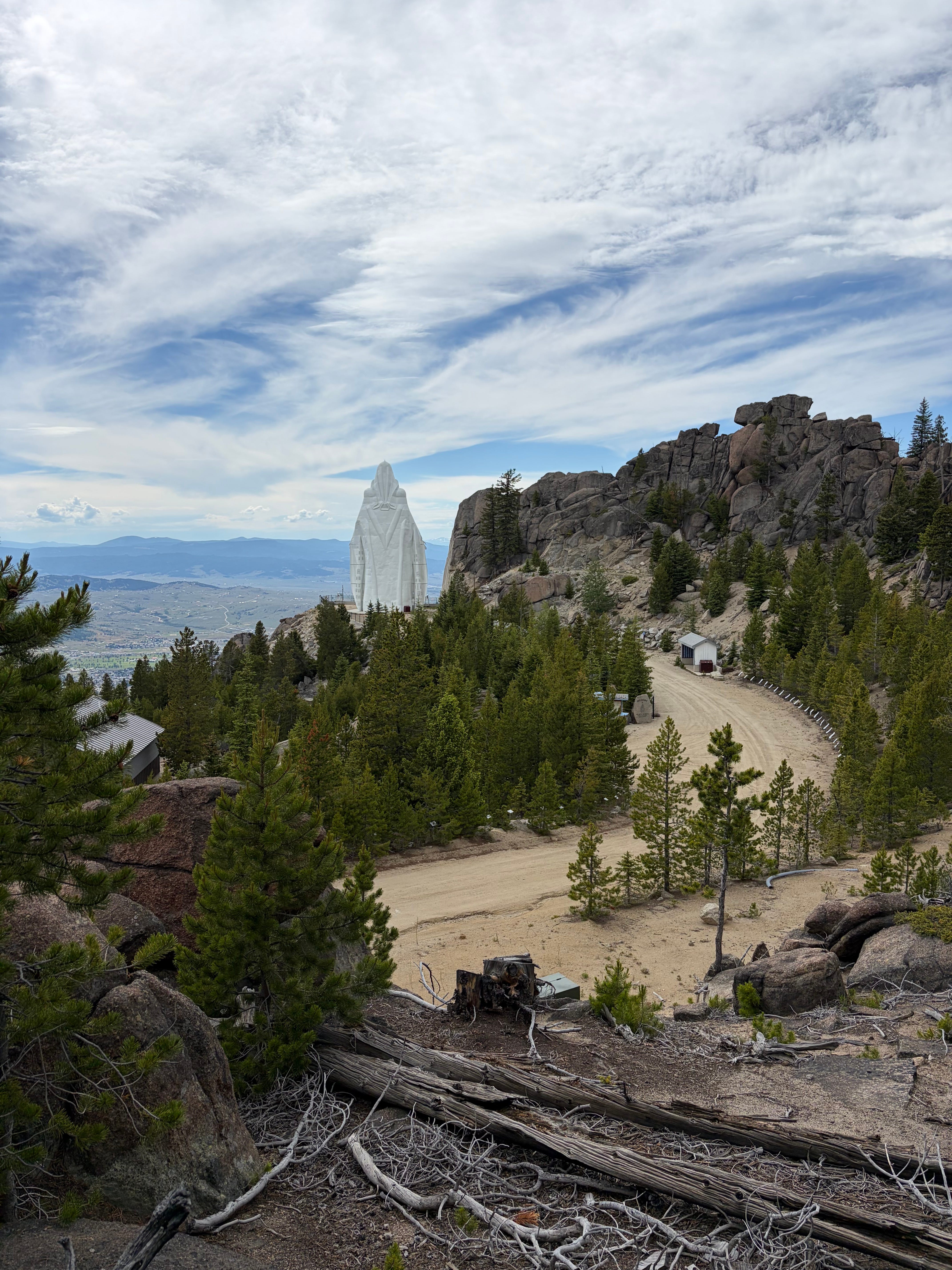
At the top though, the view was worth it. The Viewpoint of Our Lady of the Rockies has a couple things to see.
View Point
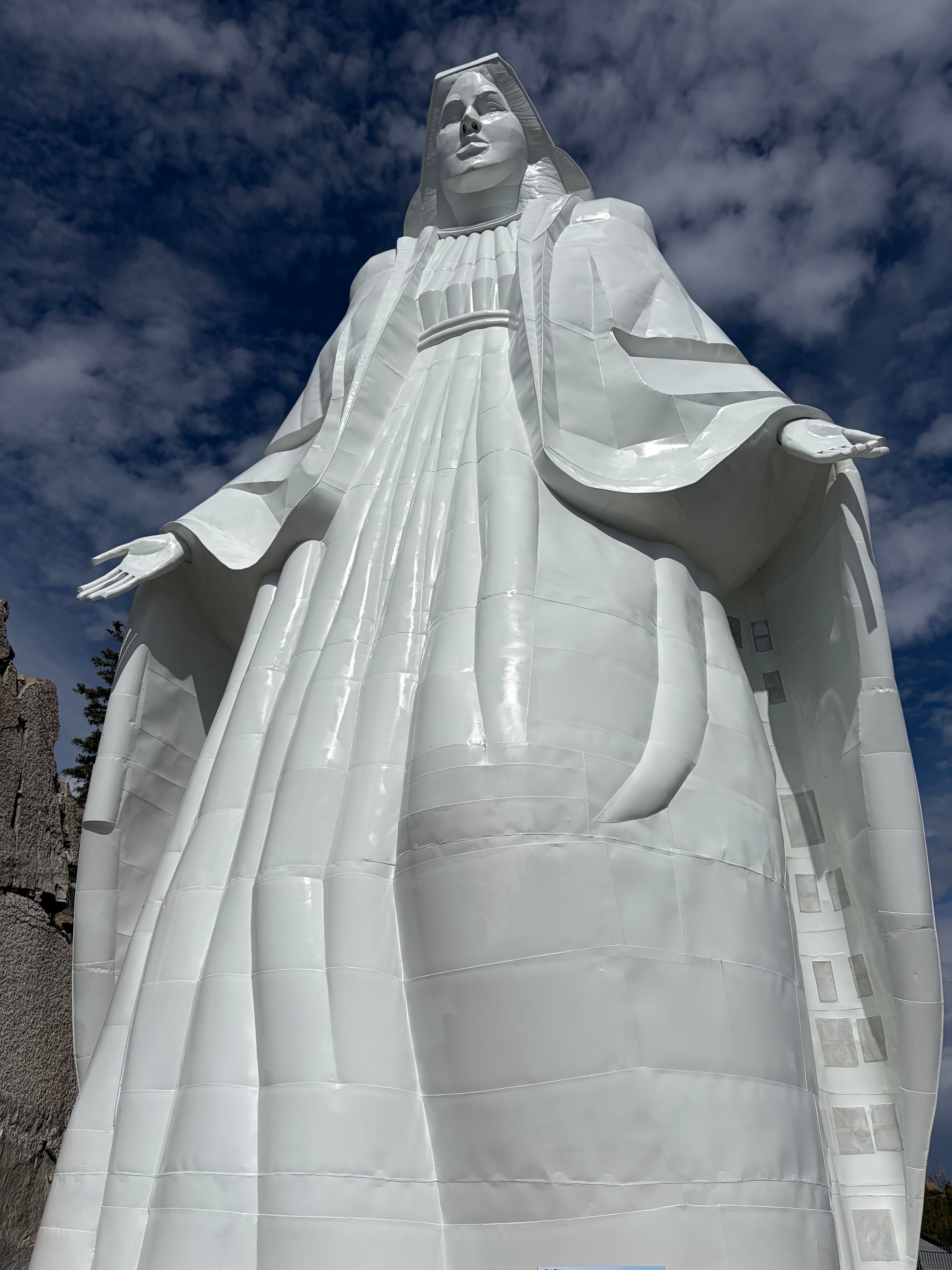
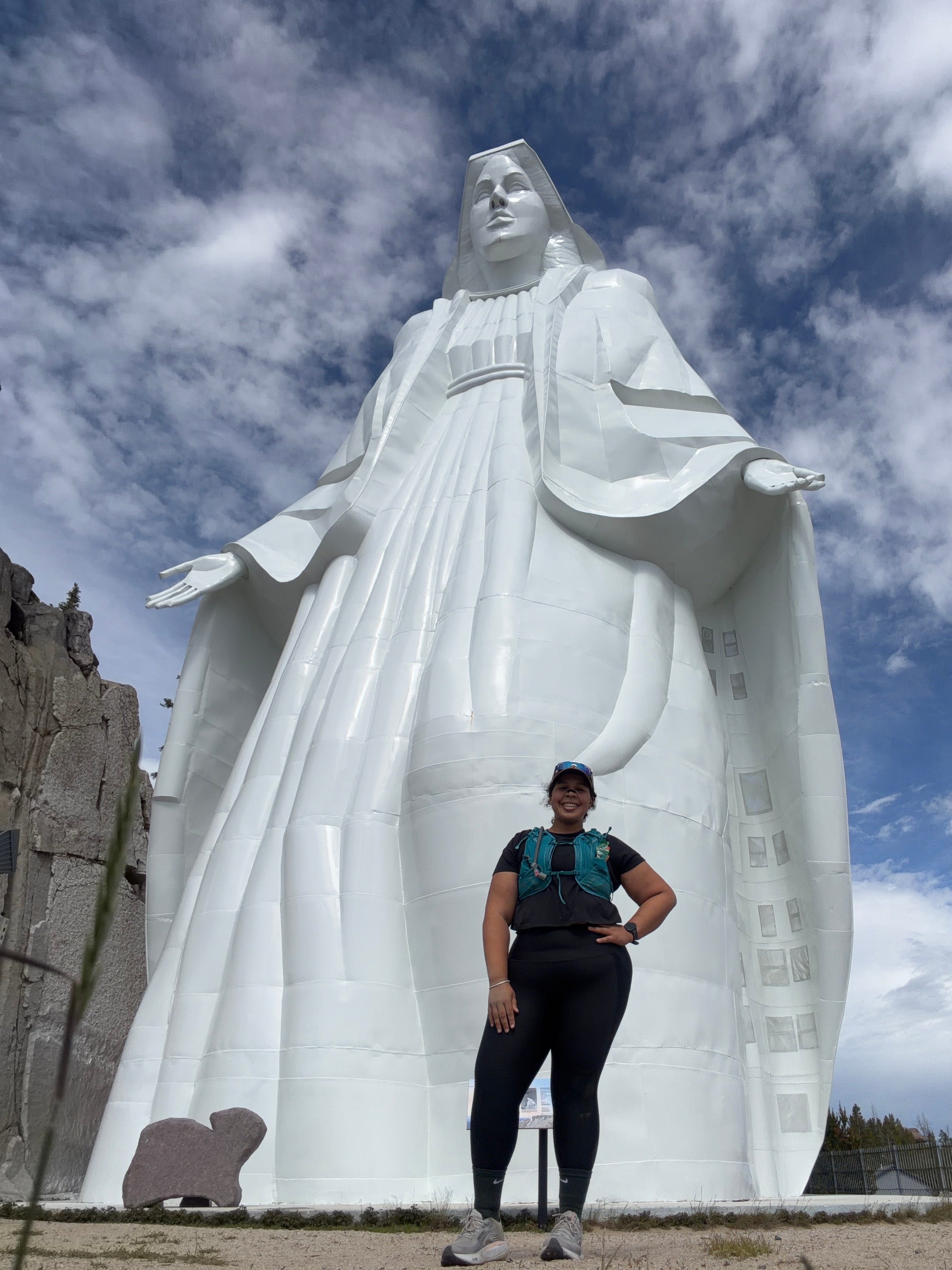
First, there is of course, The Lady. Our Lady of the Rockies is the 4th tallest statue in the United States and stands 90 feet tall, and 48 feet at her widest point, weighing 425 tons (850,000 lbs). She stands at 8510 feet above sea level. It took 6 years for her to be built from 1979-1985. Imagining the manpower it took to build her is worth considering once you get over the breathtaking view.
About Our Lady of the Rockies
Our Lady of the Rockies is one of the most well known landmarks of Butte, Montana. A massive, white statue on the east ridge illuminated by spotlights so she can be seen from anywhere in butte at anytime of day, She is magnificent. But knowing her story, she gets even cooler.
Her story, as told on the foundation website is, as follows:
“In the late 1970s, Joyce O’Bill was sick with cancer. Her husband, scared he would lose her, made a promise. If she survived, he would create a monument in her honor.
Joyce made a full recovery and Bob made good on his promise. What started as a small act of love now stands before you as the fourth tallest statue in the United States.
The culmination of six years of hard work and undying faith placed Our Lady of the Rockies atop the Continental Divide. Construction of the statue started in 1979. The people of Butte, MT, from all demographics, volunteered their time. As well as building the statue, they created the access road that visitors arrive on. Meanwhile, volunteers were working to raise needed funds through memorials and other projects. They poured the 400-ton concrete base in September of 1985, and on December 17, 1985, the statue was ready to be airlifted. Thousands watched as the Nevada Army National Guard, the Montana National Guard, the US Army Reserve from Butte, and teams of civilian workers all moved the statue to the mountain in four sections.
For the community who contributed to the project, a dream had finally become reality. Our Lady of the Rockies is entirely nondenominational and a tribute to women and mothers everywhere. Built in the likeness of Mary, Mother of Jesus, she draws visitors from all over the world to honor, remember, and send love to the women in their own lives.”
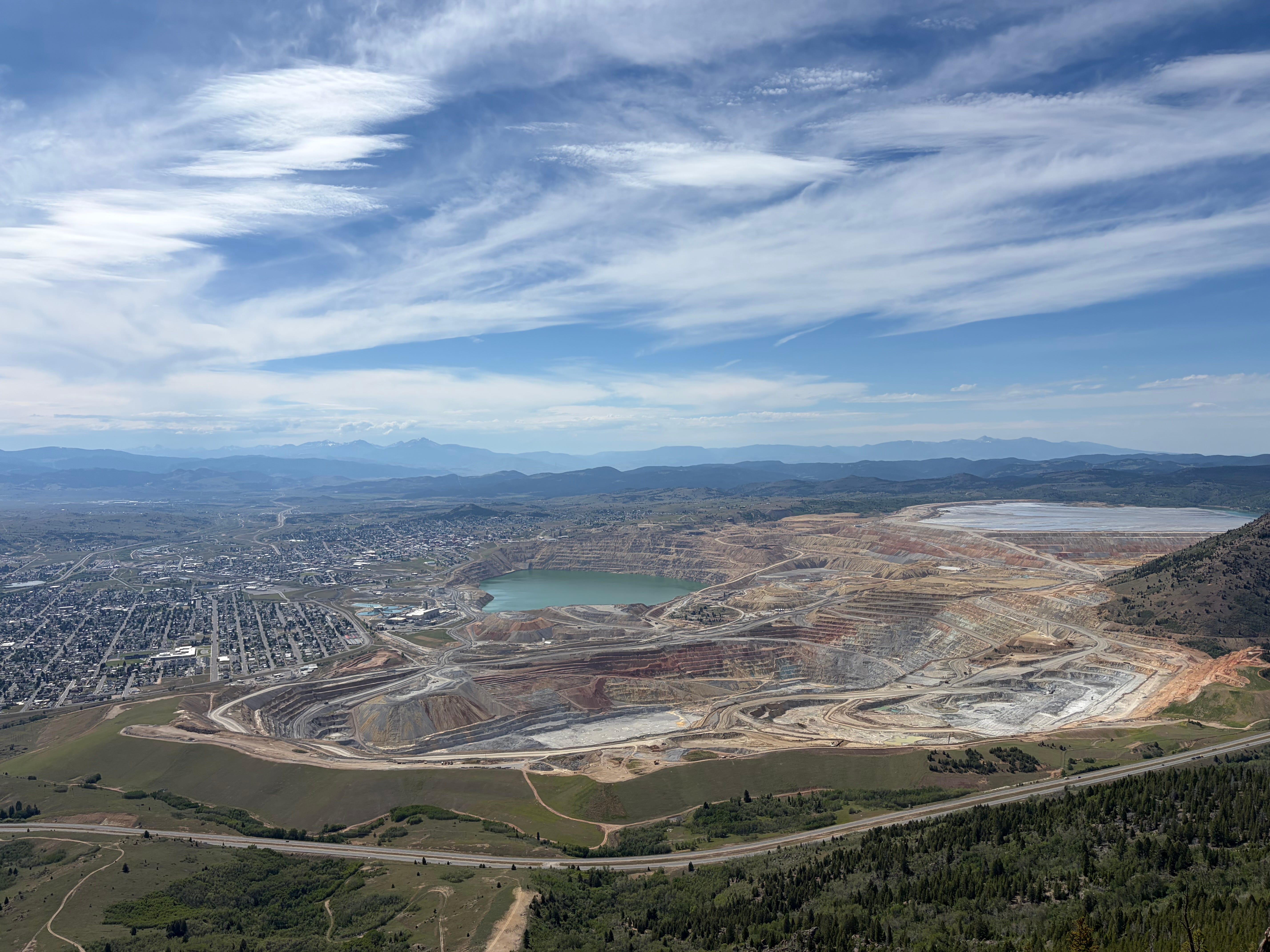
The Valley Overlook
There is also the view of the valley below. Butte, MT is known as “the richest hill on earth” because of its historical role as the major copper producer in the United States during the 19th century. The greatest landmark is the Berkeley Pit, once an open pit copper mine, it is now one of the largest Superfund sites in the United States. The pit is an acidic pond that is beautiful to look at but incredibly toxic to plants, animals, and people. But it sure is pretty.
The Memorial Wall
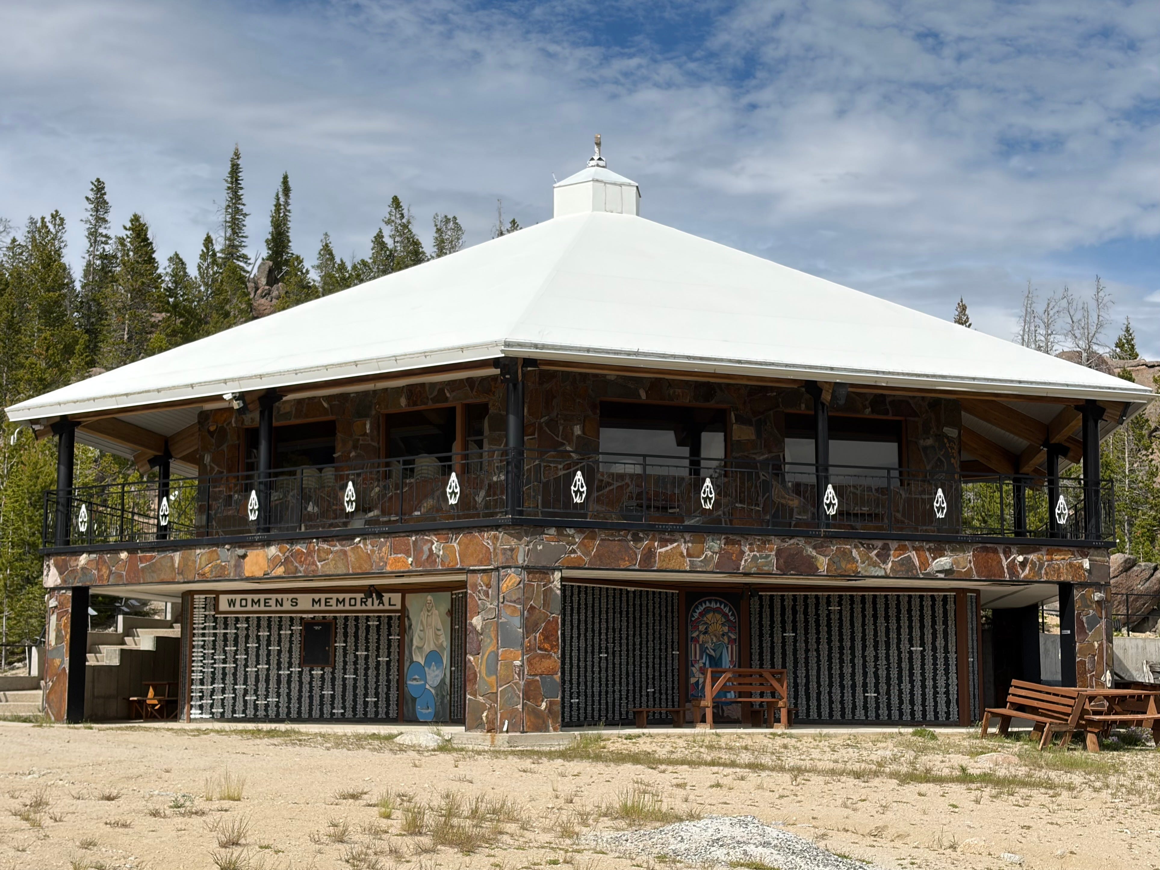
Additionally, around the base of the observatory on the mountain is a wall covered with the names of over 13,000 women who have died around the world. For $25, you can purchase a plaque to have the name of a loved one added to this
Section 2: Continental Divide Trail Connector - 4.5 miles and 500’ of vert
After enjoying the sights at the top, it was time to locate the CDT. I’m not gonna lie: it took a minute. The entrance to the CDT is down from the memorial and off to the side, not amongst the side road that seemed to be going in the same direction before ending abruptly.
Very quickly I realized the CDT was going to be very different and much more rugged than anything I have run on in years.
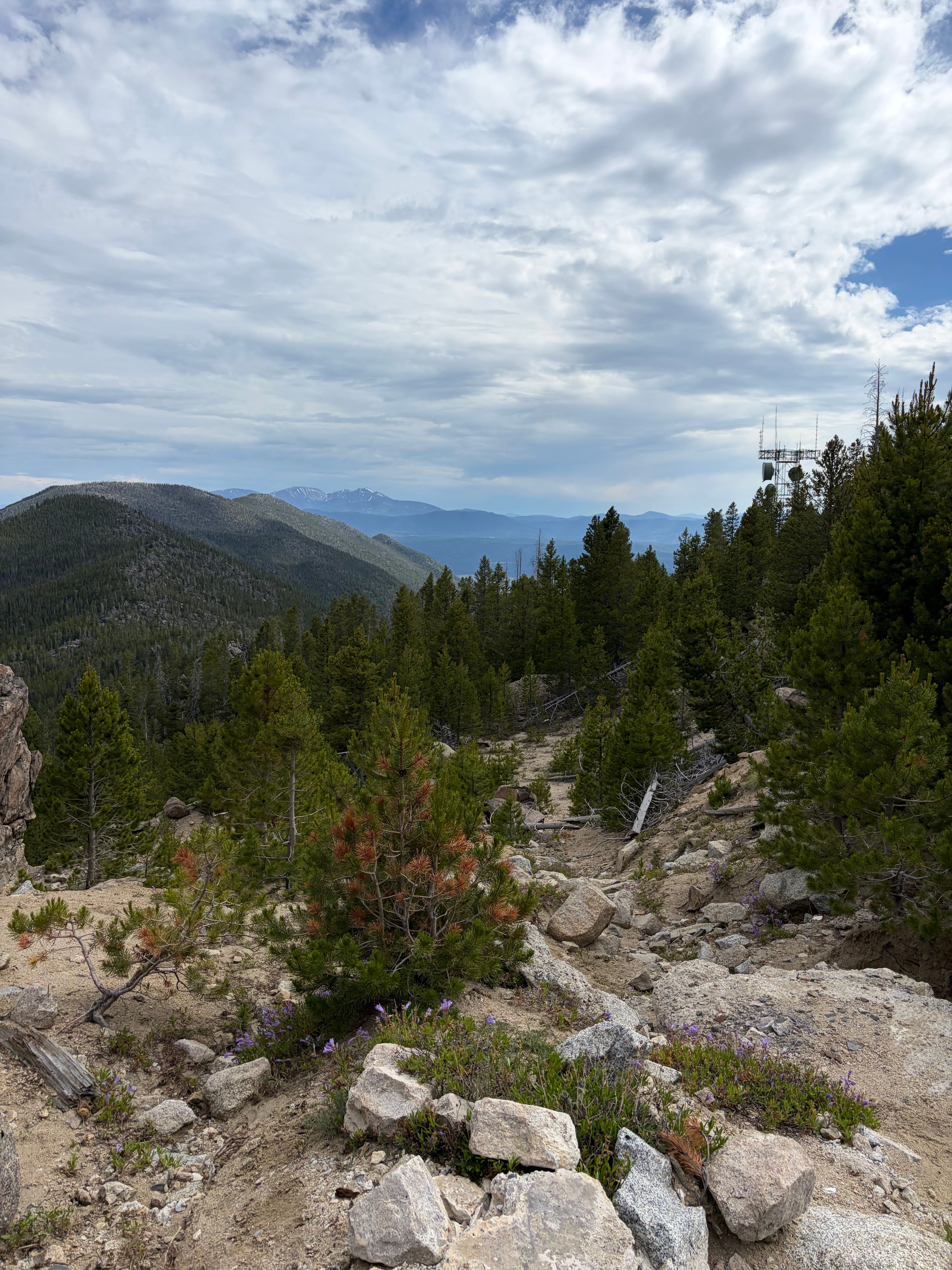
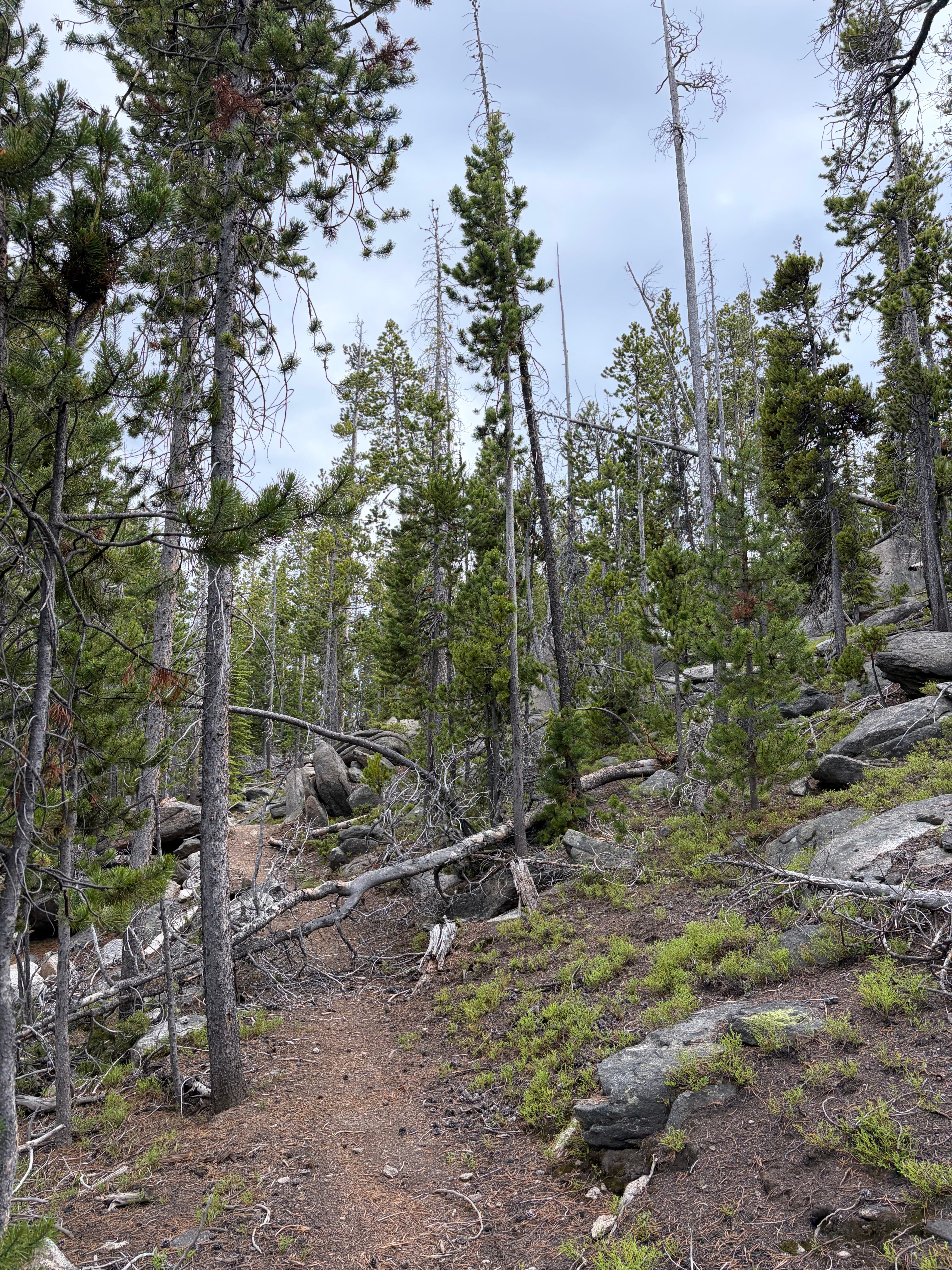
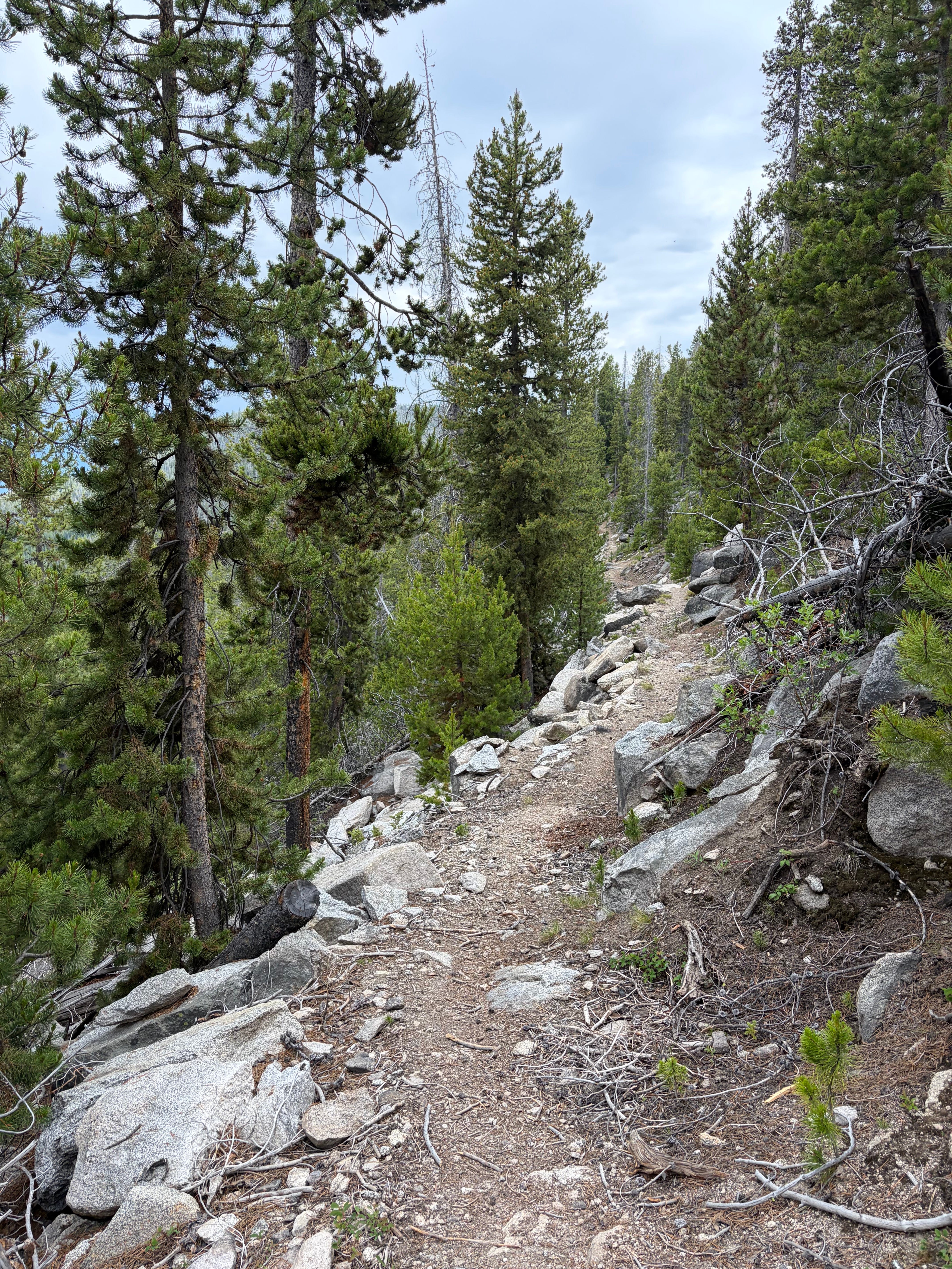
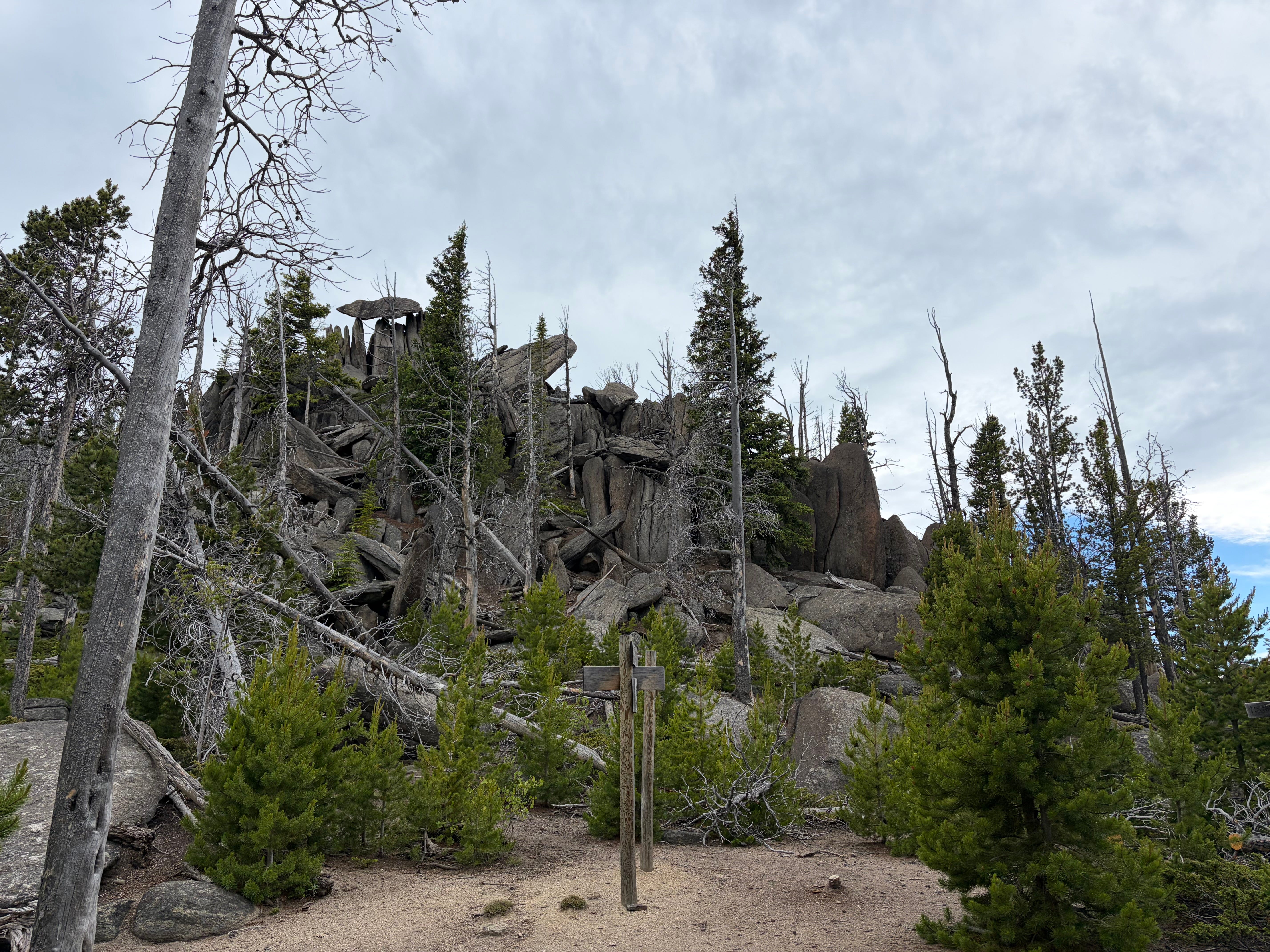
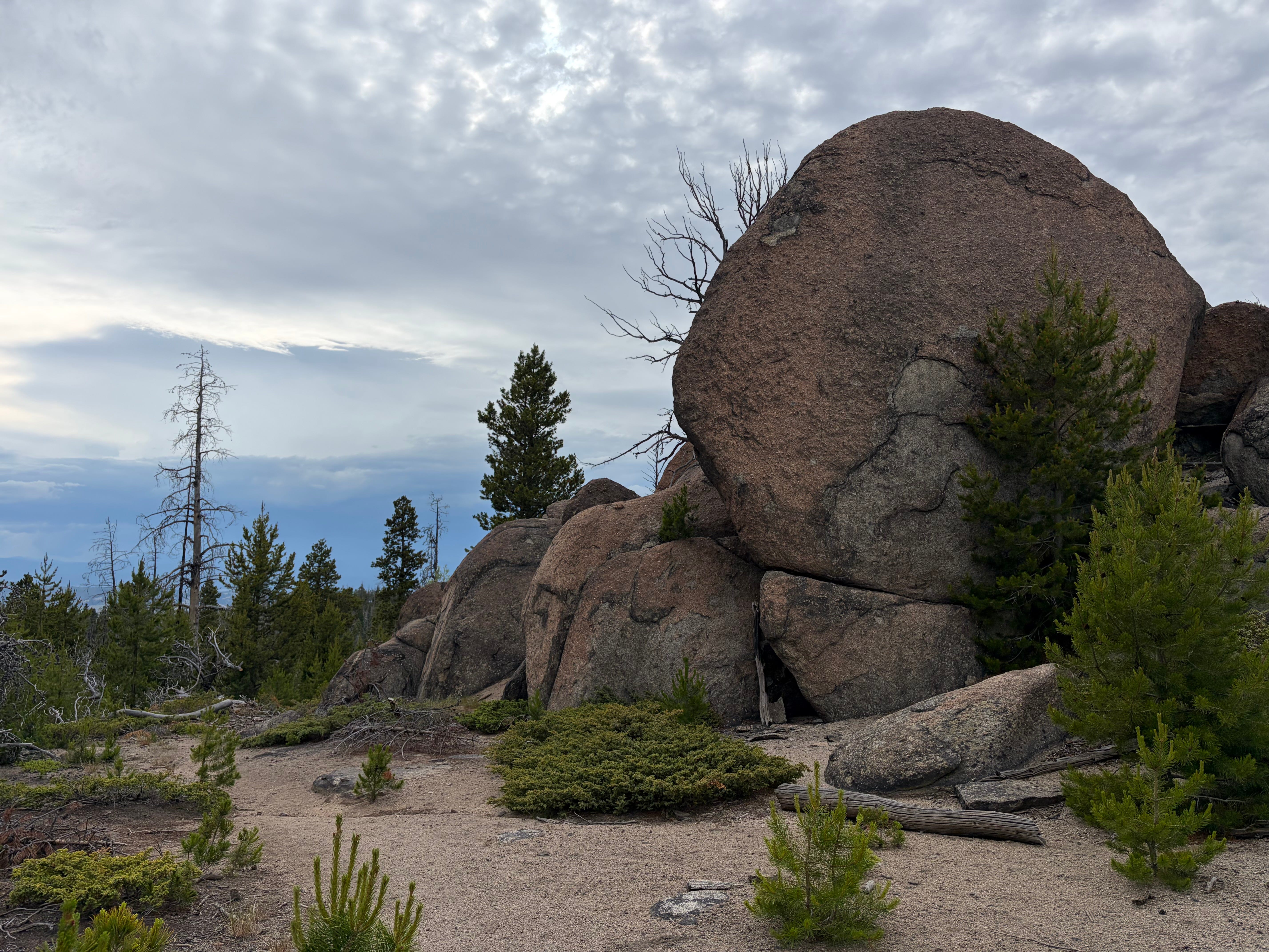
I’m not a road runner but I have stuck to mostly paved trails this year the CDT is… wilderness. I loved it. I’m talking lots of rocks and fallen trees to climb over. Massive rock formations to look at and not a soul in sight. It was glorious.
For the next 4.5 miles I traversed the rugged trail through the woods and soaked in the views, only gaining about 500 feet of elevation before reaching the top of one of Butte’s most popular trails: Maud S.
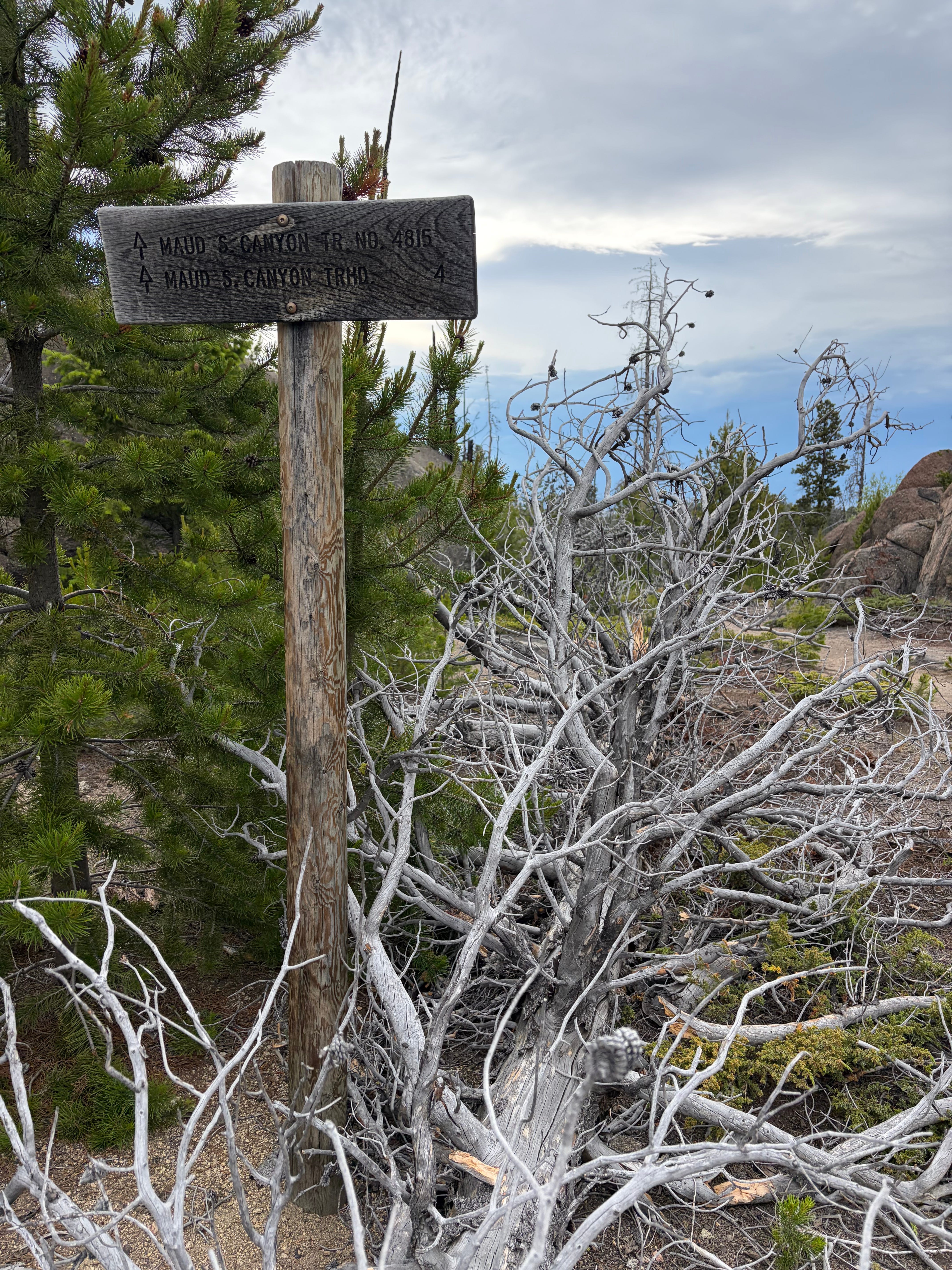
Section 3: Maude S Canyon Trail - 3 miles, all downhill
You’d think after all the elevation gain, I’d be grateful for the downhill. And to a degree, I was. But I would also say this section felt the longest and like it dragged on forever.
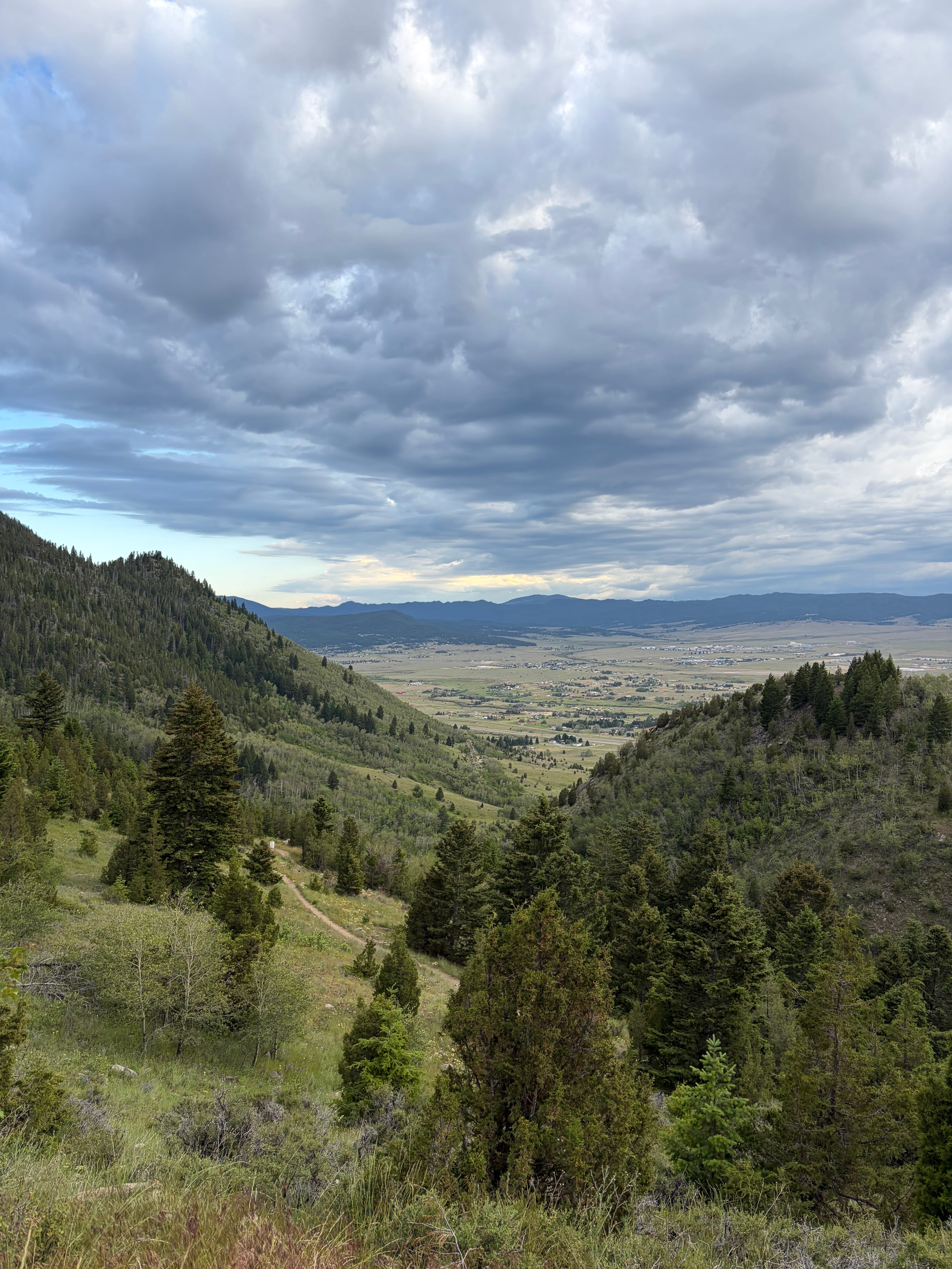
It felt as though town never seemed to get any closer whenever I peered through the trees. It was filled with switchbacks and surrounded by fallen trees as it went steadily downhill.
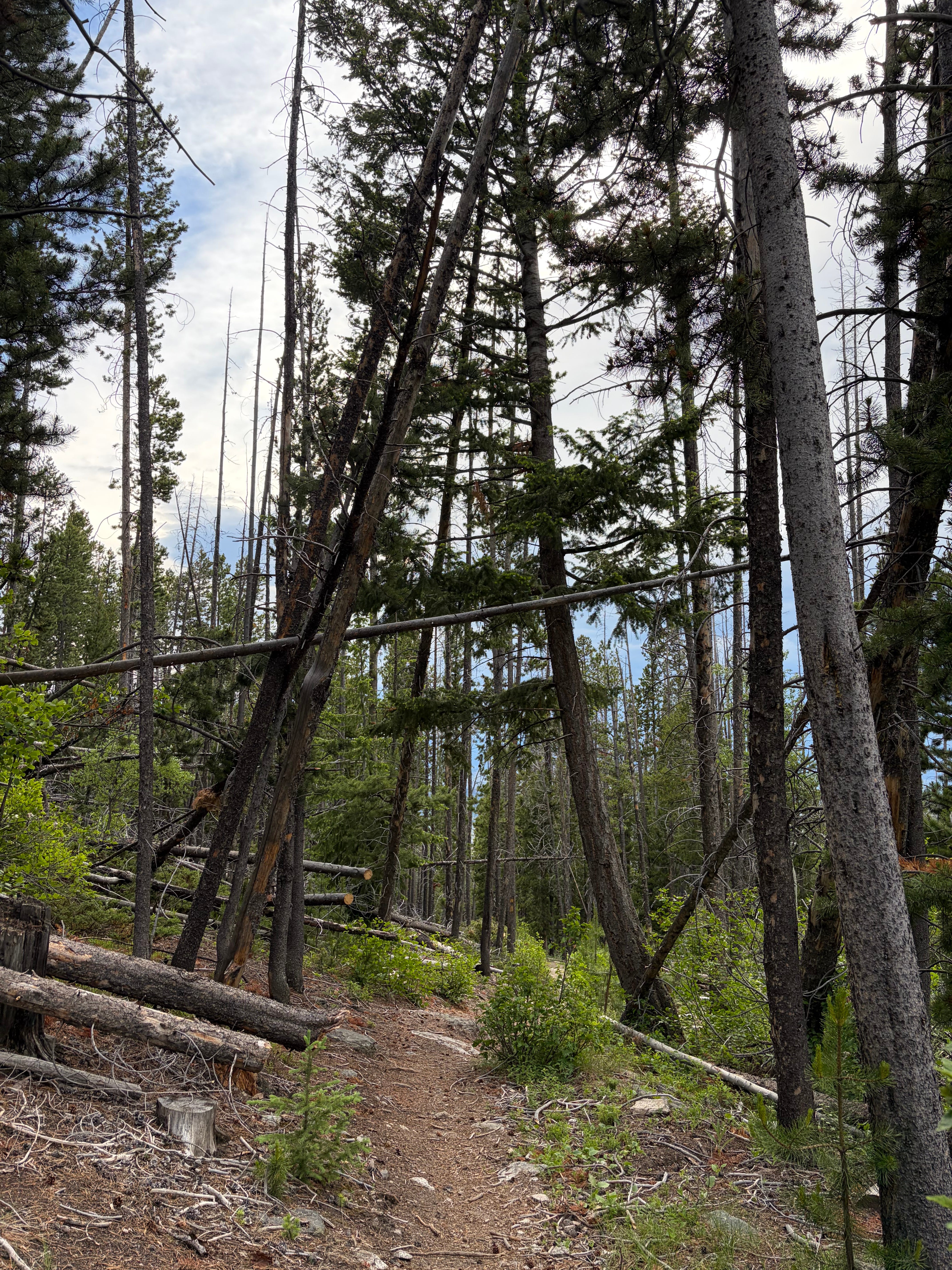
Finally the trail popped out into a beautiful meadow area with the choice of a fork. I took the right fork through a grassy and flowered winding route, finally entering familiar territory. It was beautiful and picked up speed as well as brought a couple mountain bikers. I jogged the final stretch from the tracks down to the parking lot, ending on a high note after a very long day.
Final Thoughts…
This was probably my 7th real trail run ever and my 1st with significant distance. I spent about 6 hours out that day but I’m not sure how much of that was taking in the sights at the viewpoint. I used about 8 gels and drank 1.5 liters of water. And two days later, my calves and my glutes were wrecked. All in all, it was a success.
I plan on running this again before the end of the year, and hiking it at least once with my family. My next trail run though will actually be The Divide 25K, I was inspired to sign up by this experience. There isn’t as much elevation but it’s in the same area.
Here is to my next adventure!
Last race: Missoula Marathon Weekend
Next race: Skinny Raven Half Marathon

Wow! This is so cool! I love that you use running as a way to adventure and learn new things. I learned a lot reading this, and can relate to spending long days on my feet exploring new places!