


2026 Challenge Reflection #8:
The Divide Trail Race (25K) in Butte, Montana - July 2026
The second race I signed up for in July 2026 was on a whim. It was the Divide Trail Race in Butte, Montana and was also my first ever official trail race. I chose to do this race because the route was tucked away on my Strava Maps (which I use as a route bucket list) and I figured if I was going to do it, what better way than as a pre-mapped event? Prior to this race, I had only done one other trail run with significant elevation (you can read about that here). It was also my longest race to date, at 25K (about 15.5 miles), and I was only 6 days out from my half-marathon in Anchorage. Needless to say, I was a bit nervous. However, if there is one thing to know about me, it’s that I have the willpower to finish anything I put my mind to, and I frequently test those limits. And boy was the Divide 25K a test.
The Route
This exciting event takes place partially on the famous Continental Divide Trail. The entire route, except for two road crossings, is on dirt and gravel. The race starts and finishes near Lower Eagles Nest in Thompson Park, just outside of Butte, Montana, at an elevation of 5,900 feet.
The route worked out to be just over 15.5 miles with around 2400’ of elevation gain. There were three main sections:
Thompson Park Trails - Skeebogan, Blacktail Ridge, and CDT
Old Milwaukee Road (aka Milwaukee Trail)
Orman Camp Loop
Section 1 - Trails: Skeebogan, Blacktail Ridge, and CDT
The race begins with a slight downhill on a Forest Service road for about one mile. At the bottom, you cross Montana Highway 2 to enter the Thompson Park trails. The first trail, Skeebogan, features a steep uphill climb for approximately 1.5 miles, with an elevation gain of about 600 feet. This was by far the most difficult section for me and reinforced for me that I need to start strength training regularly again.
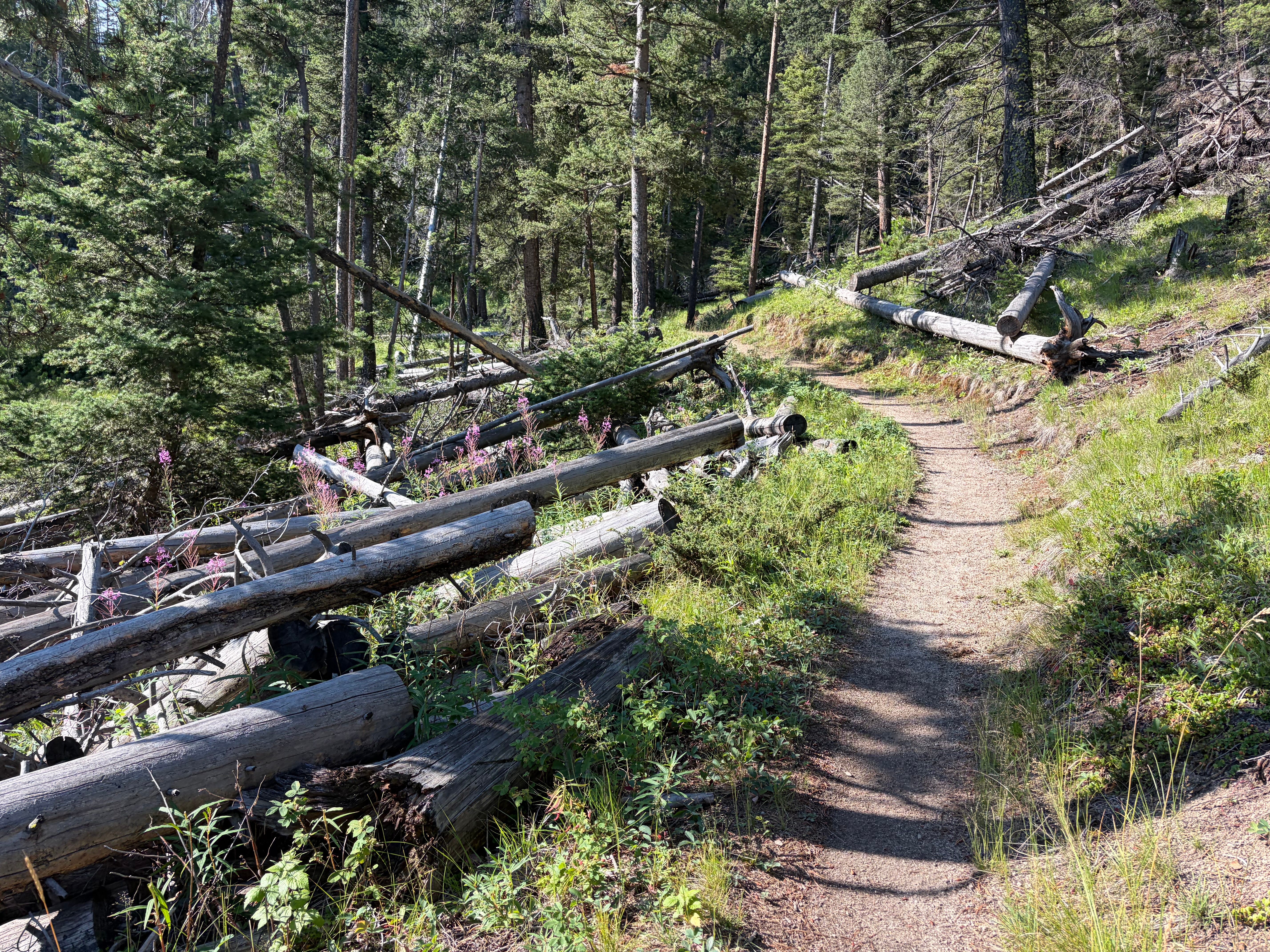
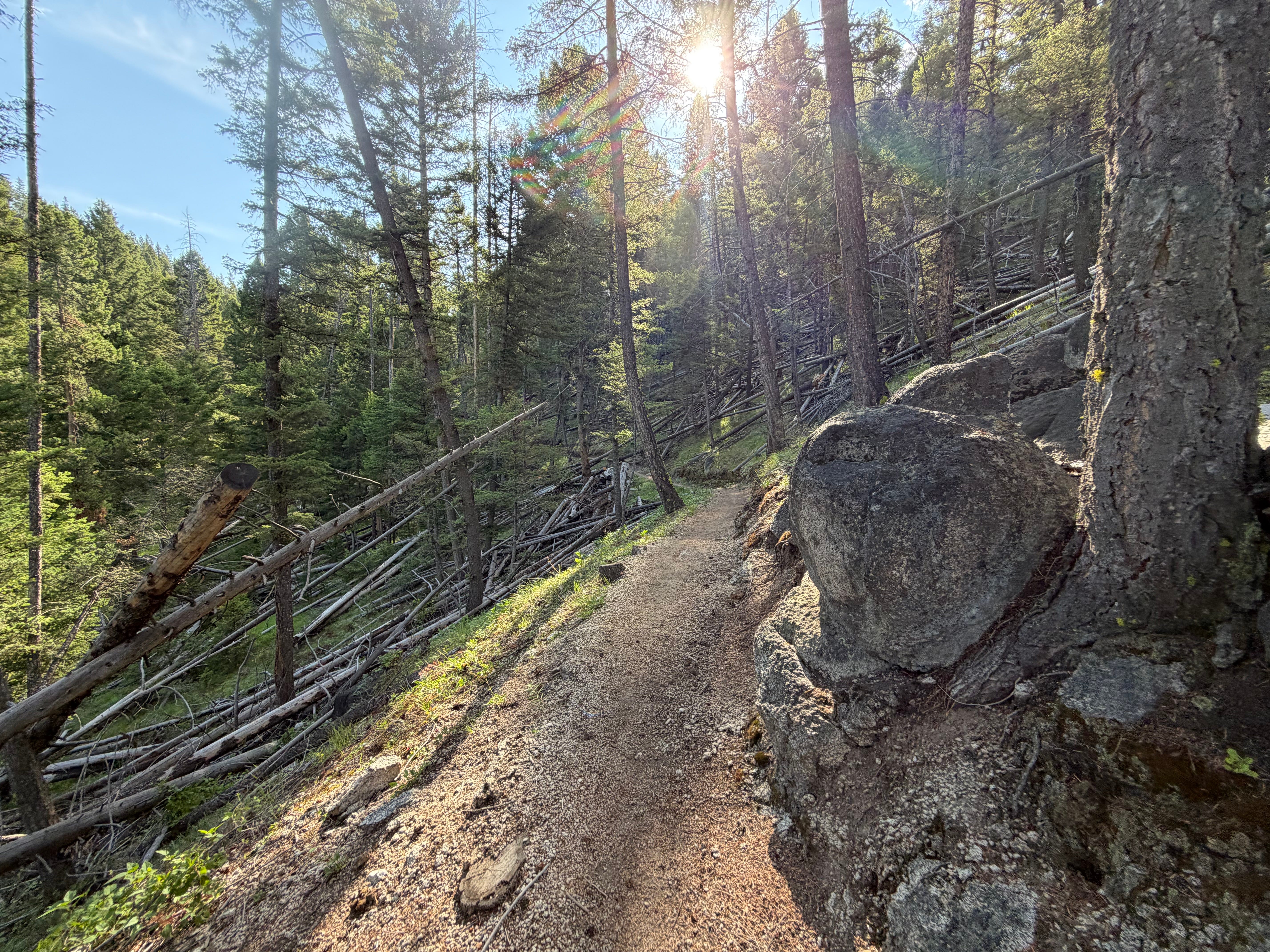
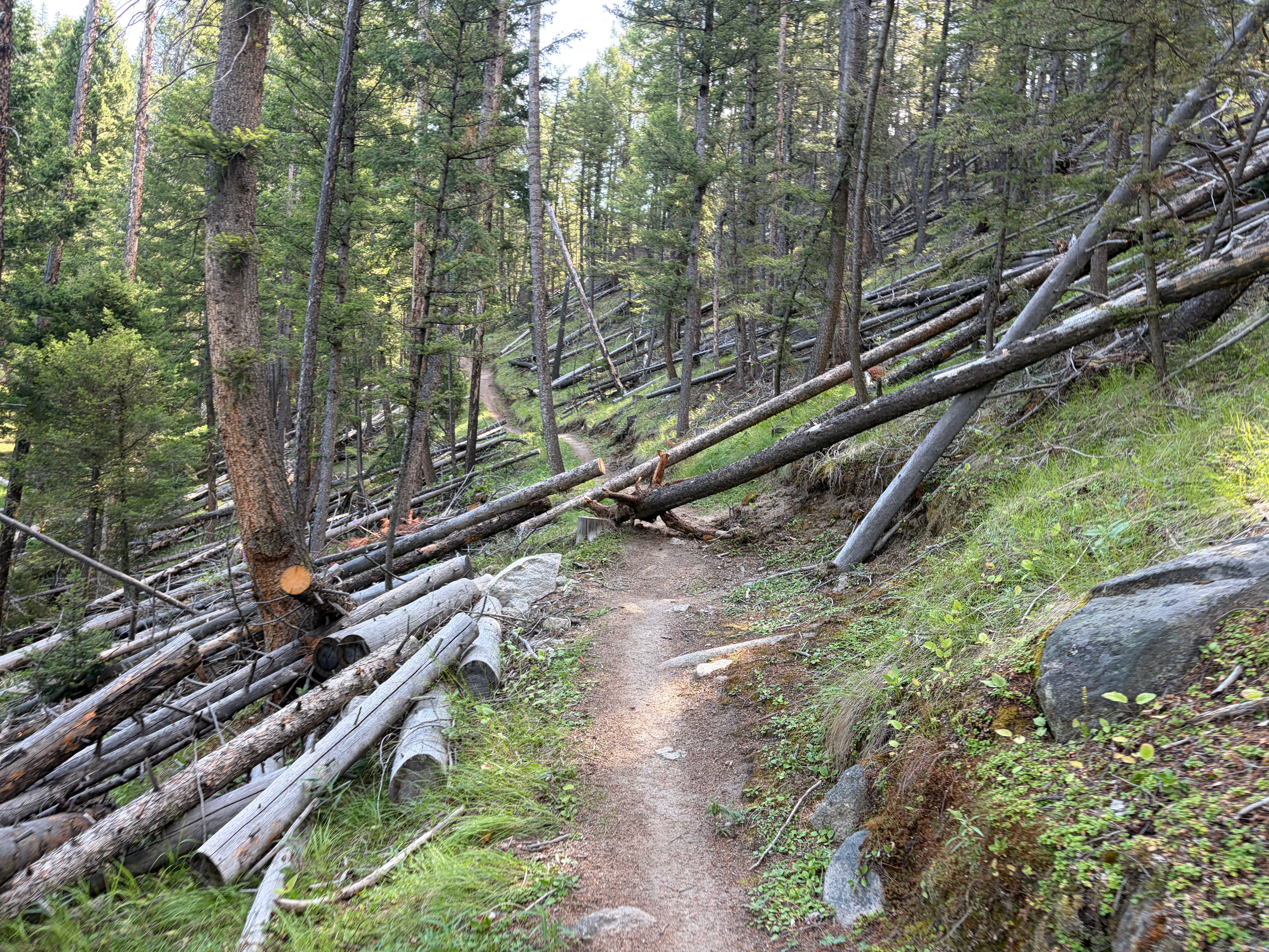
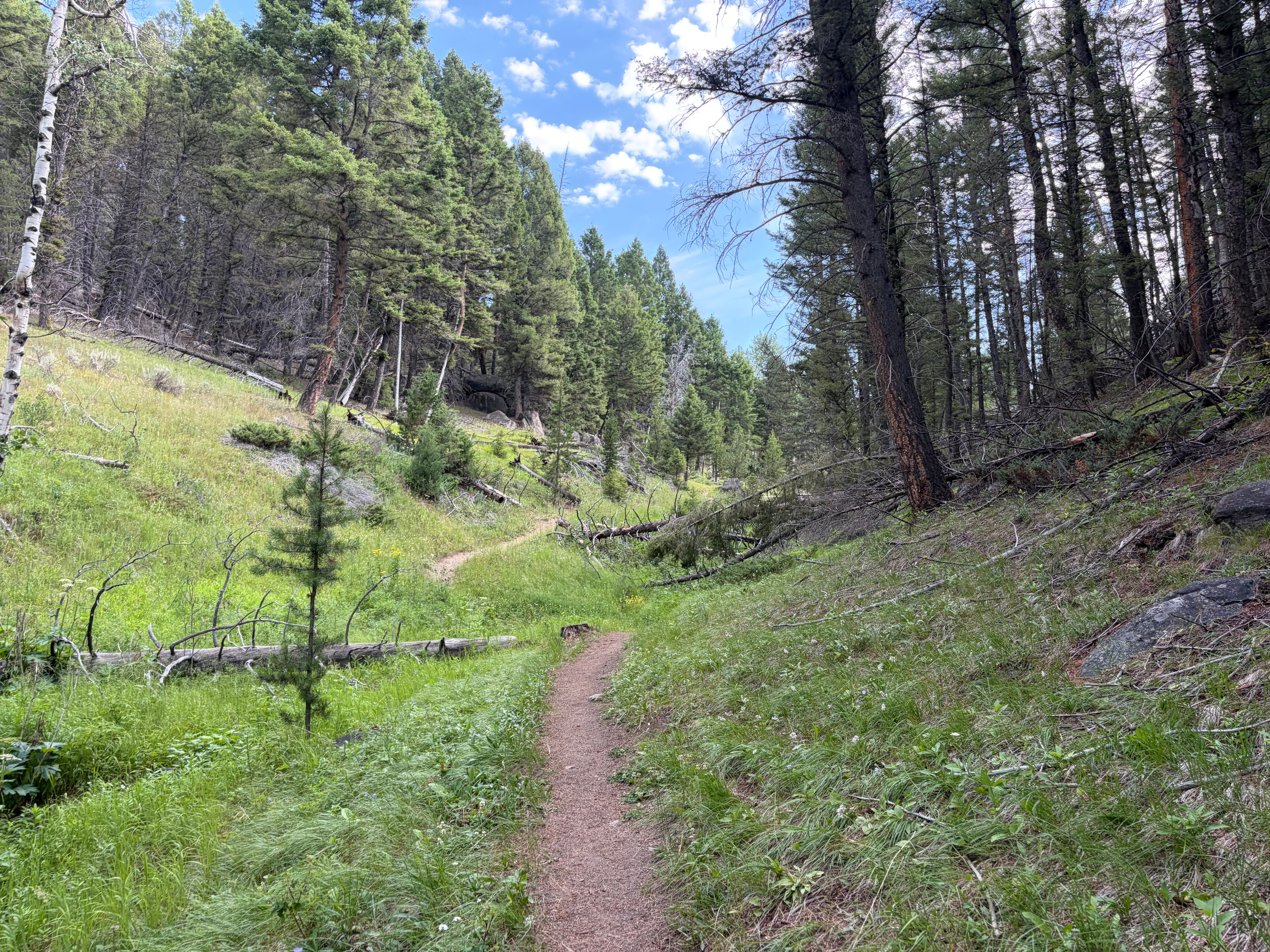
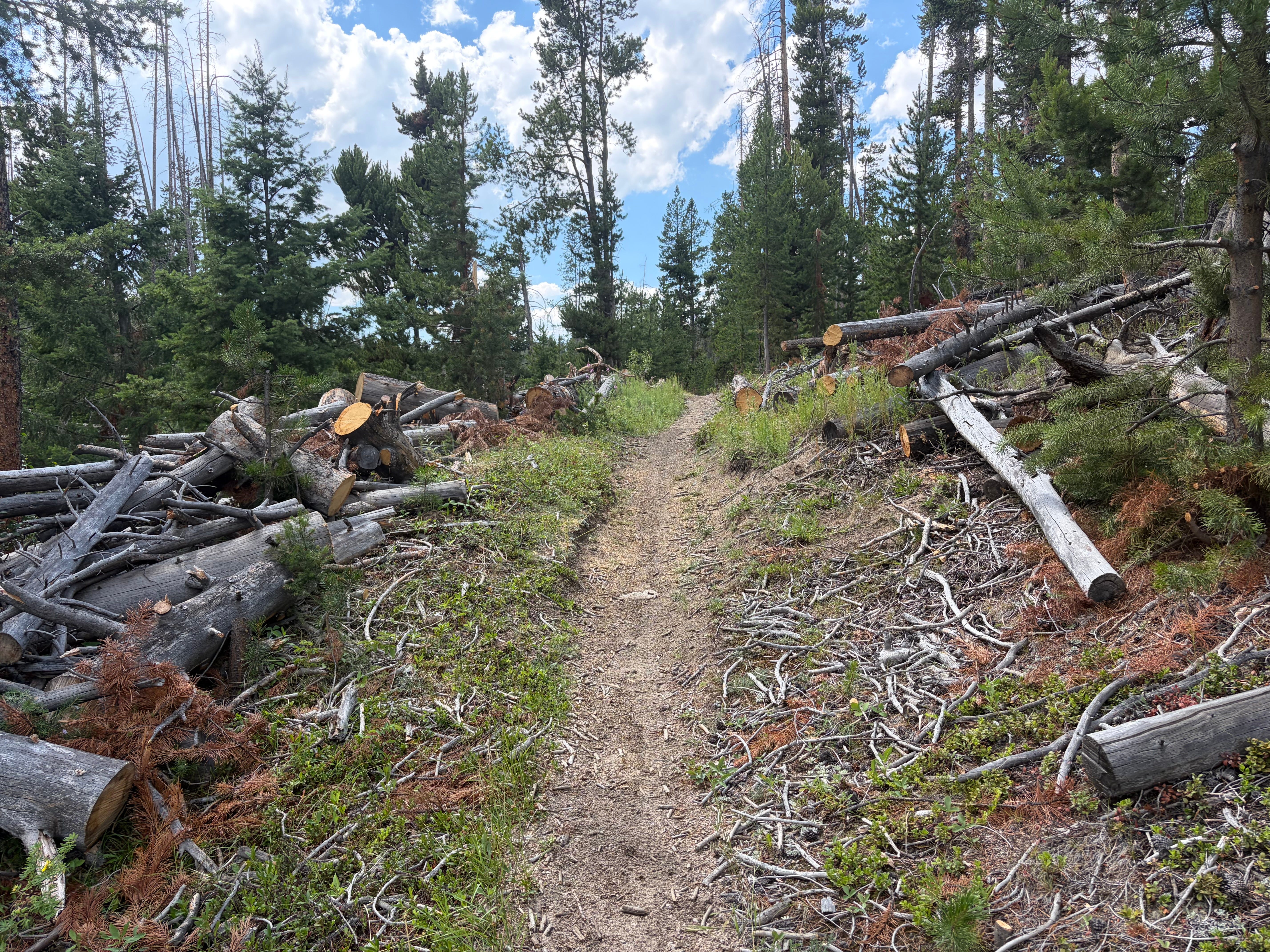
At the top of Skeebogan, the route turns right onto the Blacktail Ridge Trail. This section is more rolling and stays elevated on the ridge. Over the next 3.65 miles, you gain around 500 feet while descending about 160 feet. This area is very open and exposed to the elements - sun, wind, and rain.
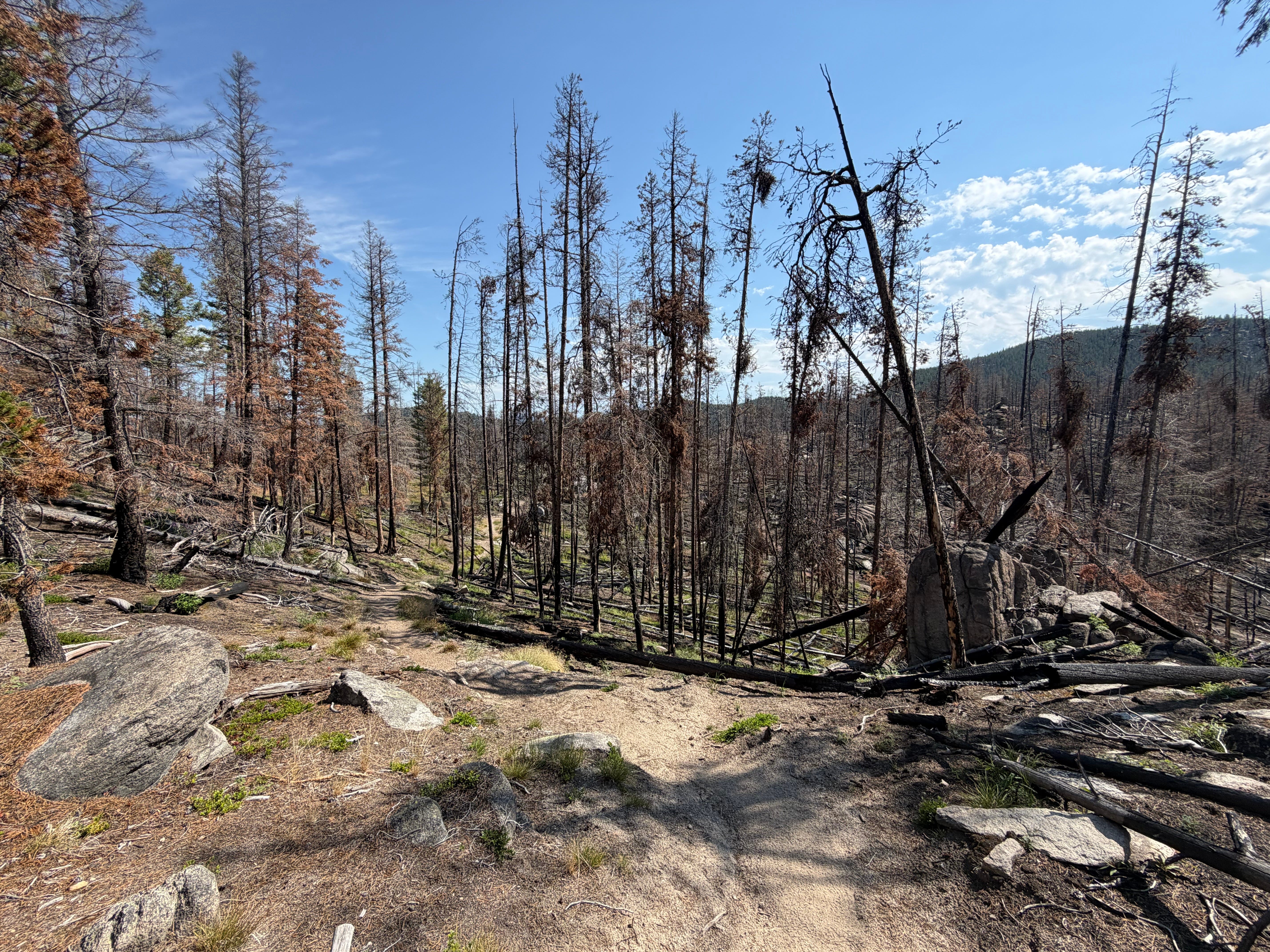
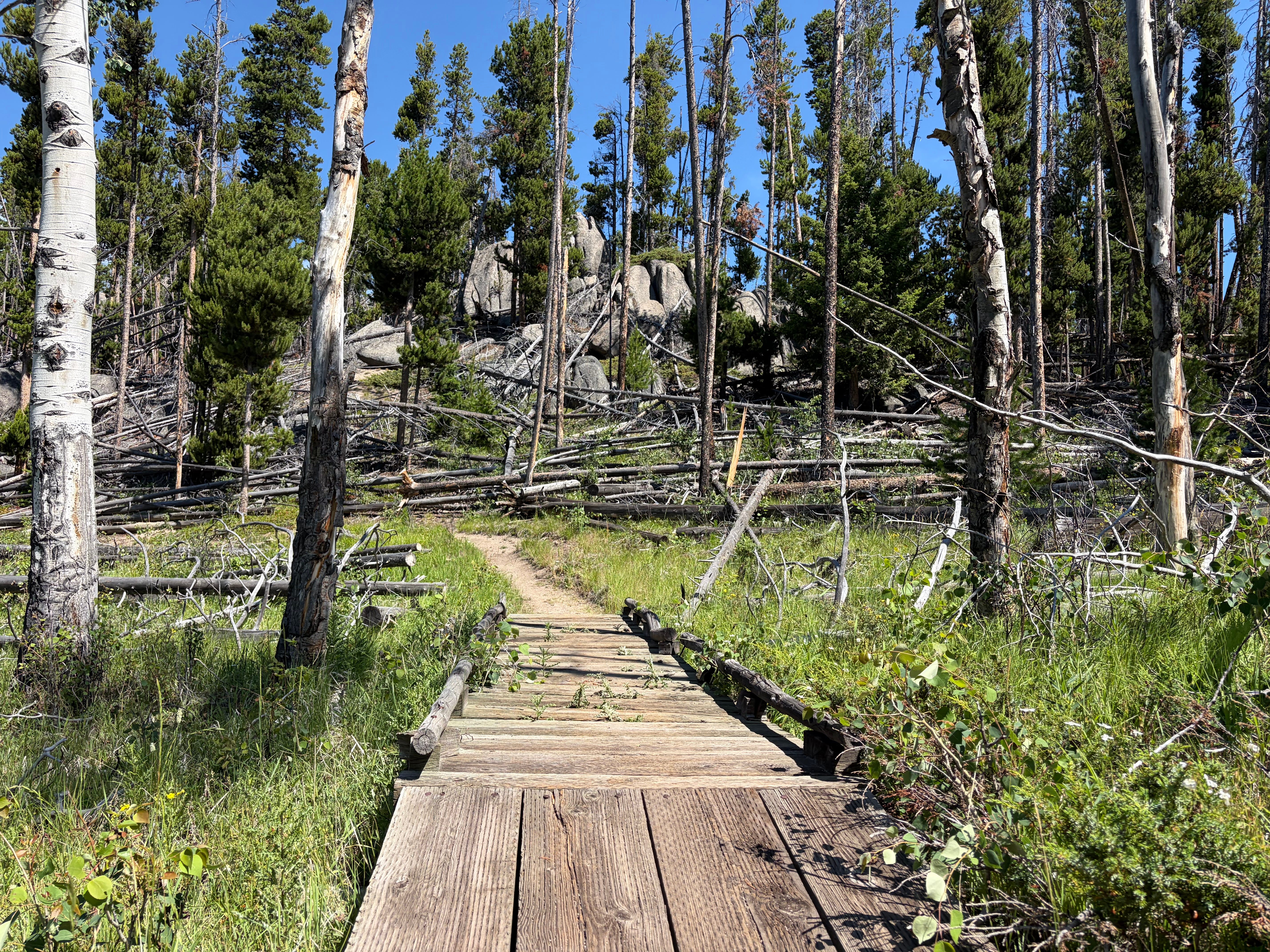
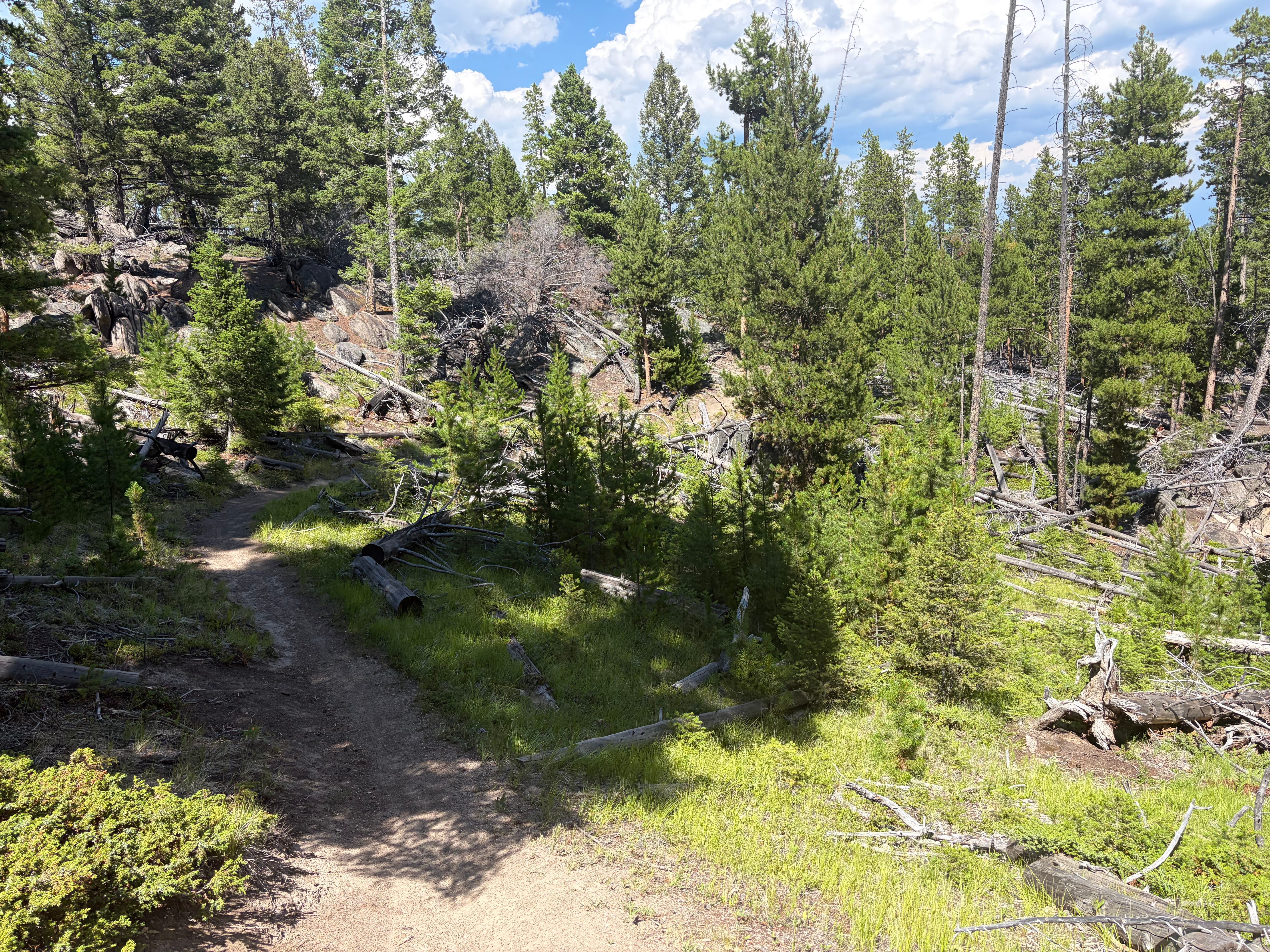
After completing Blacktail Ridge, the route takes a right onto the Continental Divide Trail (CDT). The route continues on the CDT for 2.5 miles, with a net elevation loss of 500 feet and a couple of switchbacks at the end of the section. Overall, this area is semi-forested around and downhill, which was much needed leading into the second half.
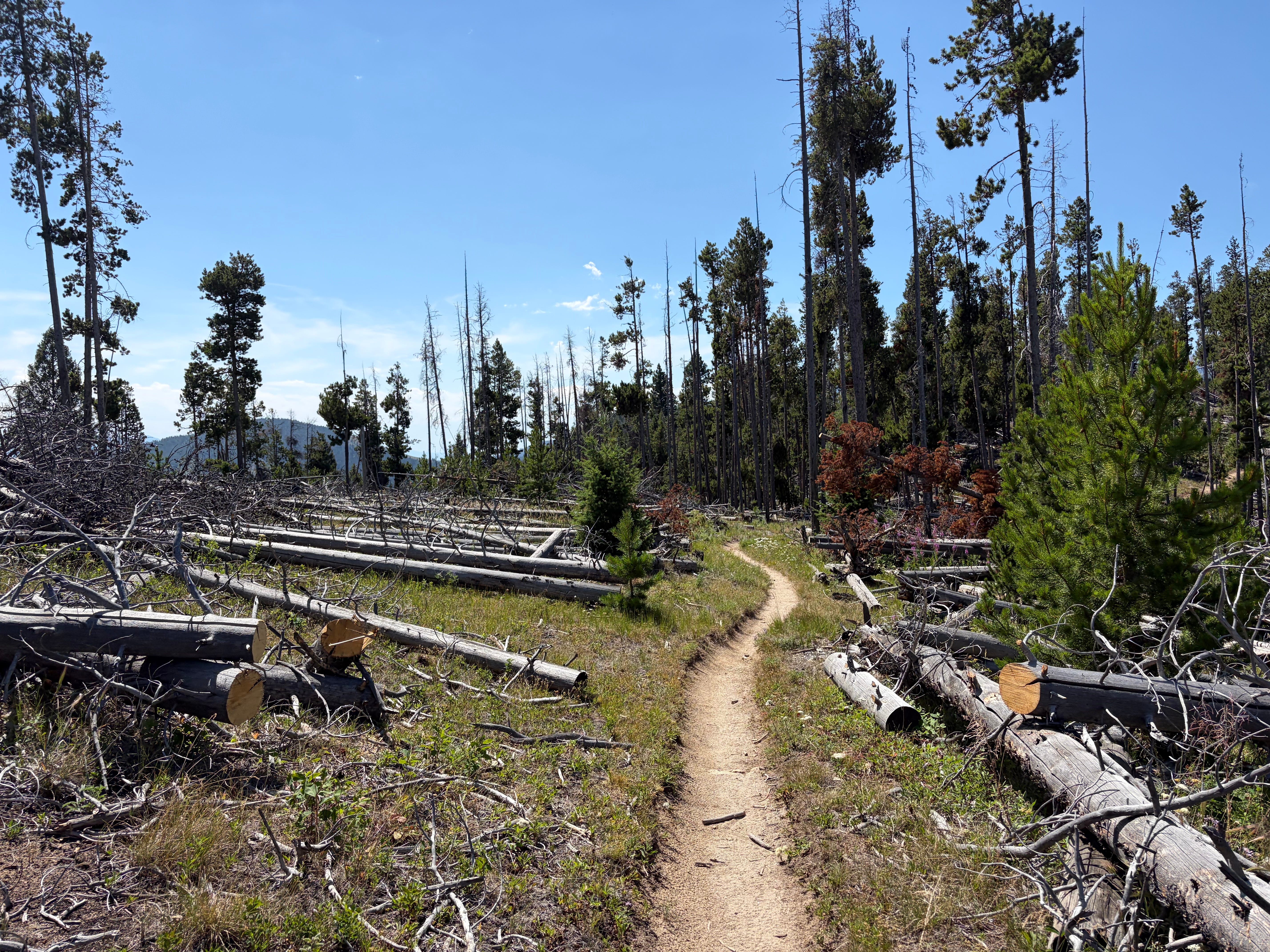
Upon reaching the bottom of the CDT, the route once again crossed Montana Highway 2, bringing me to the fully staffed resupply station at an elevation of 6,500 feet. At this point, I had emptied my 1.5-liter bladder in my pack, assuming there would be water at the station.
Midway Aid Station
As I reached the aid station, I felt three feelings in quick succession: relief, then elation, then dismay.
Relief: I had finally reached the aid station, which meant I’d made it more than halfway and was coming up on the section I was most excited for.
Elation: The aid station was stocked to the brim. Gels. Electrolytes. Fruit. Chips. Candy. Caprisun. Gatorade. It had hands-down the best Gatorade I’ve ever had in my life.
Dismay: I flipped open the cooler and added an electrolyte tab to a bottle of water. As I glanced at the table quickly, I realized that was the only water. There was no canteen cooler as I imagined there would be. No way to refill me pack water. This meant that all I had was my two 16-oz handheld water bottles to get me through 6 or so miles. I grabbed a bottle to go and hit the road.
Section 2 - Old Milwaukee Road
Following the aid station, the route entered the Milwaukee Trail, an old railroad route converted into a trail. This section has a slight downhill grade, all on crushed gravel, losing about 300 feet over three miles.
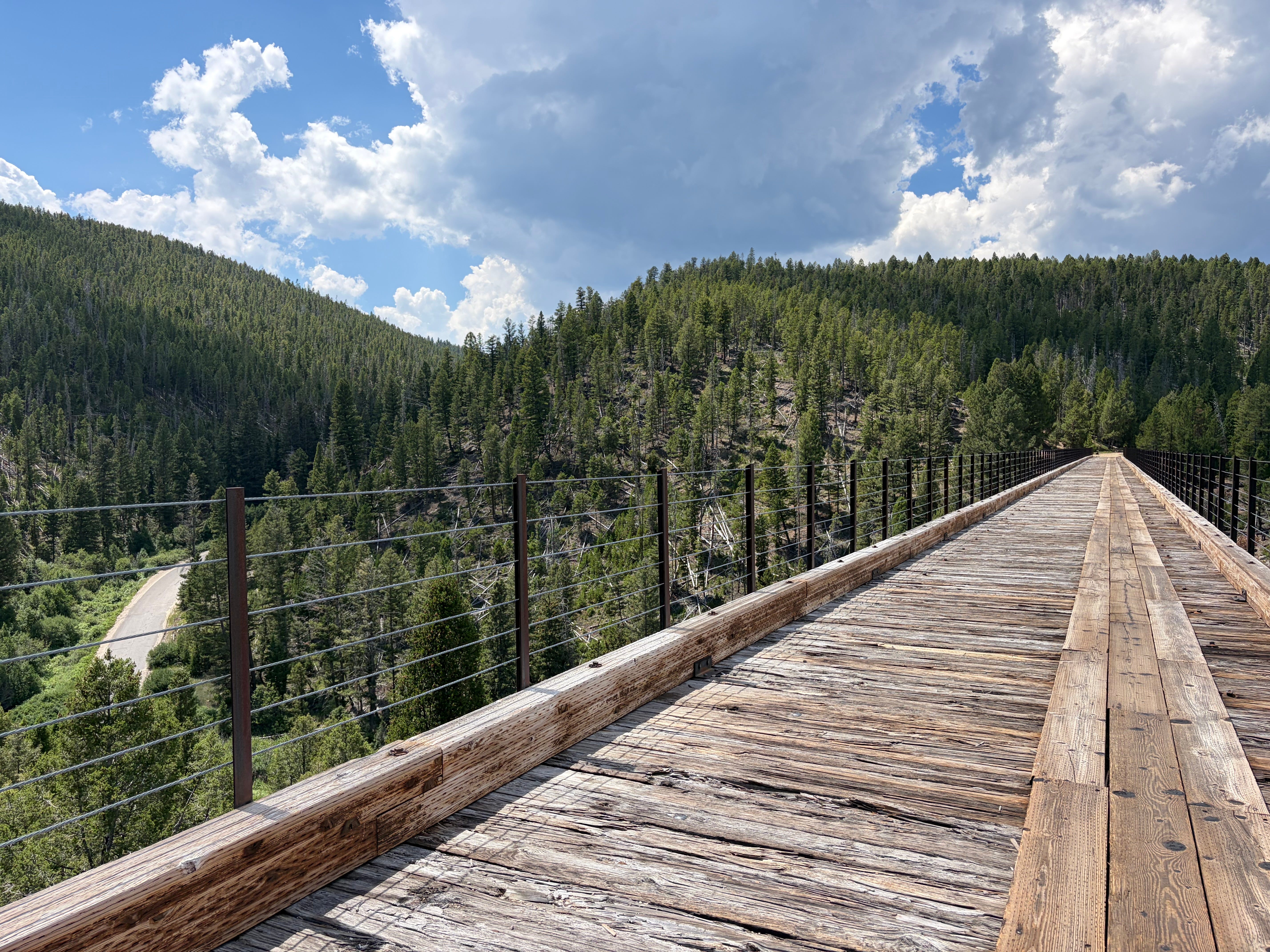
It was very open and pretty hot at this point. It also felt completely flat, which allowed me to pick up the pace a bit.
This section held a couple of pretty neat sites, including several trestles and train tunnels along the way. The first trestle was high over the road below, a spot I’ve always looked up and wondered how to get to. Finally finding it was a cool little moment for me. Next came the tunnel. I could hear some thunder and got a very light sprinkling as I propped my phone up for a quick photo before entering the dark.
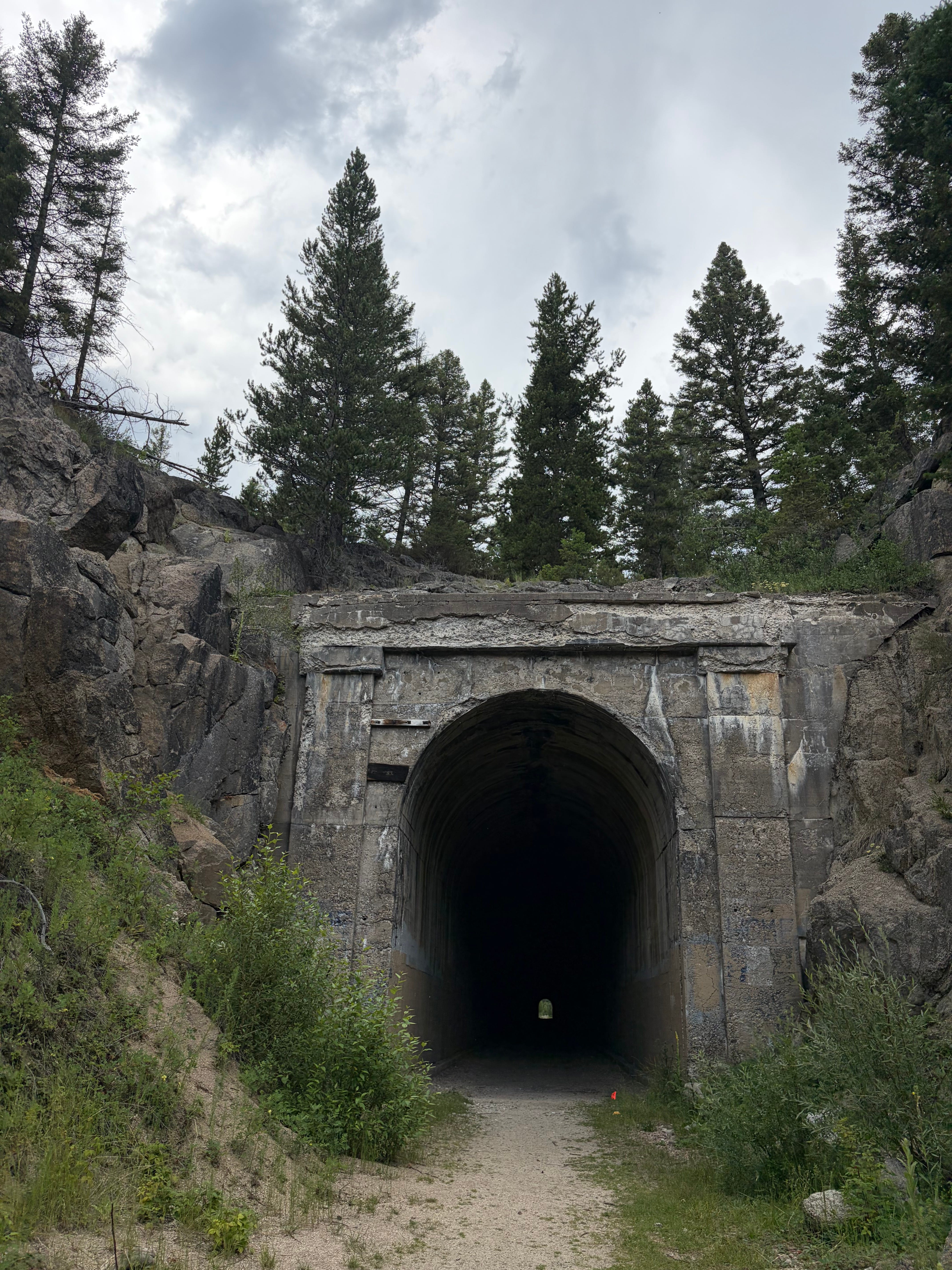
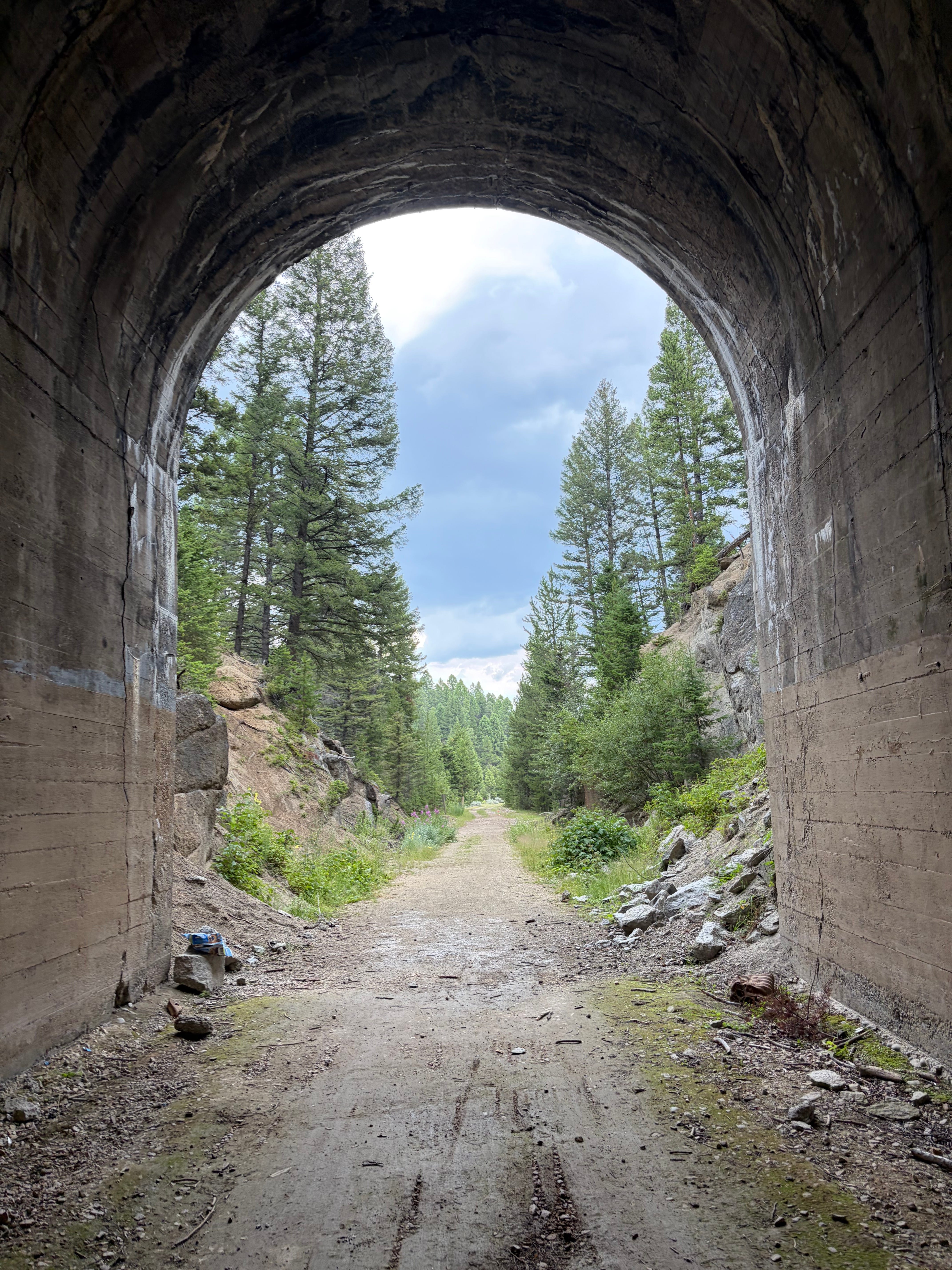
At first, when entering the tunnel, I was in awe; how cool was this? Quickly, the dread rolled in, almost as fast as the dark. Before I knew it, I was surrounded by complete pitch-blackness, with a small point of sunlight marking the end of the tunnel. I turned on the music, but my flashlight wouldn’t turn on, and my phone was overheating. I kept the panic at bay by listening to the music and keeping my eyes trained ahead. The light felt as though it was crawling closer but I didn’t dare move faster. The ground beneath my feet was not flat, filled with large, smooth divots. At the end, I would find out this tunnel was over a half mile long.
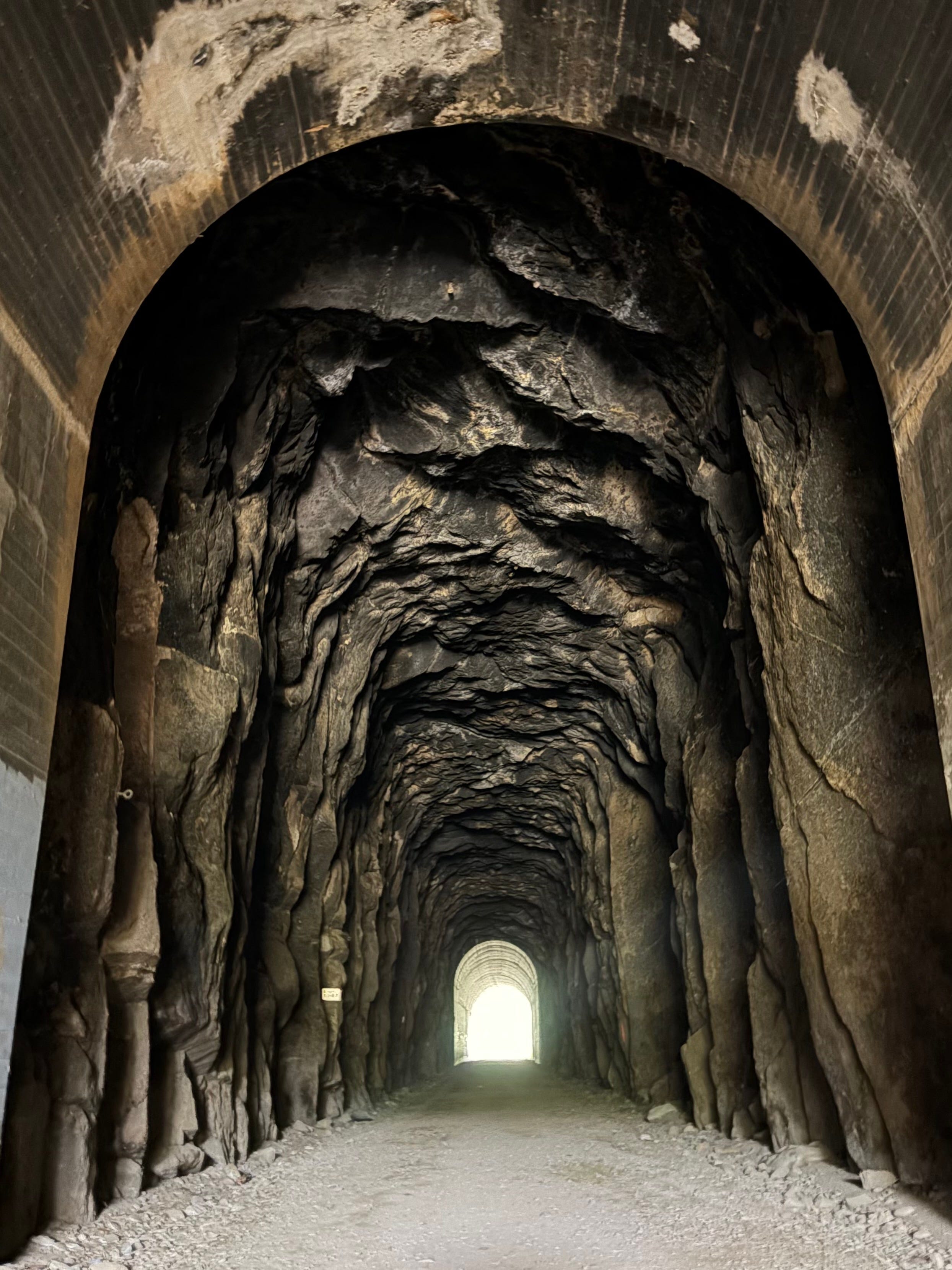
I made it out of the tunnel and allowed myself to relax. Shortly though, I came across another tunnel. This one was considerably shorter, the inside was lighter and it was a cool view. The ground was also much flatter. Making it out, I knew I was getting closer to the final stretch and longer than any race I’d done before.
Section 3 - Orman Camp Loop
I turned left onto Orman Camp Loop and headed up. This was the final push! I nearly immediately looked back to the Milwaukee Trail with deep longing. This last segment gains and loses 450 feet over approximately three miles. This was undoubtedly the most challenging section and took some major mental hurdles to finish. Any time advantage I gained on the Milwaukee trail, I rapidly lost. I thought no less than 4 additional times about my need for strength training and more hills as I trudged along this section.
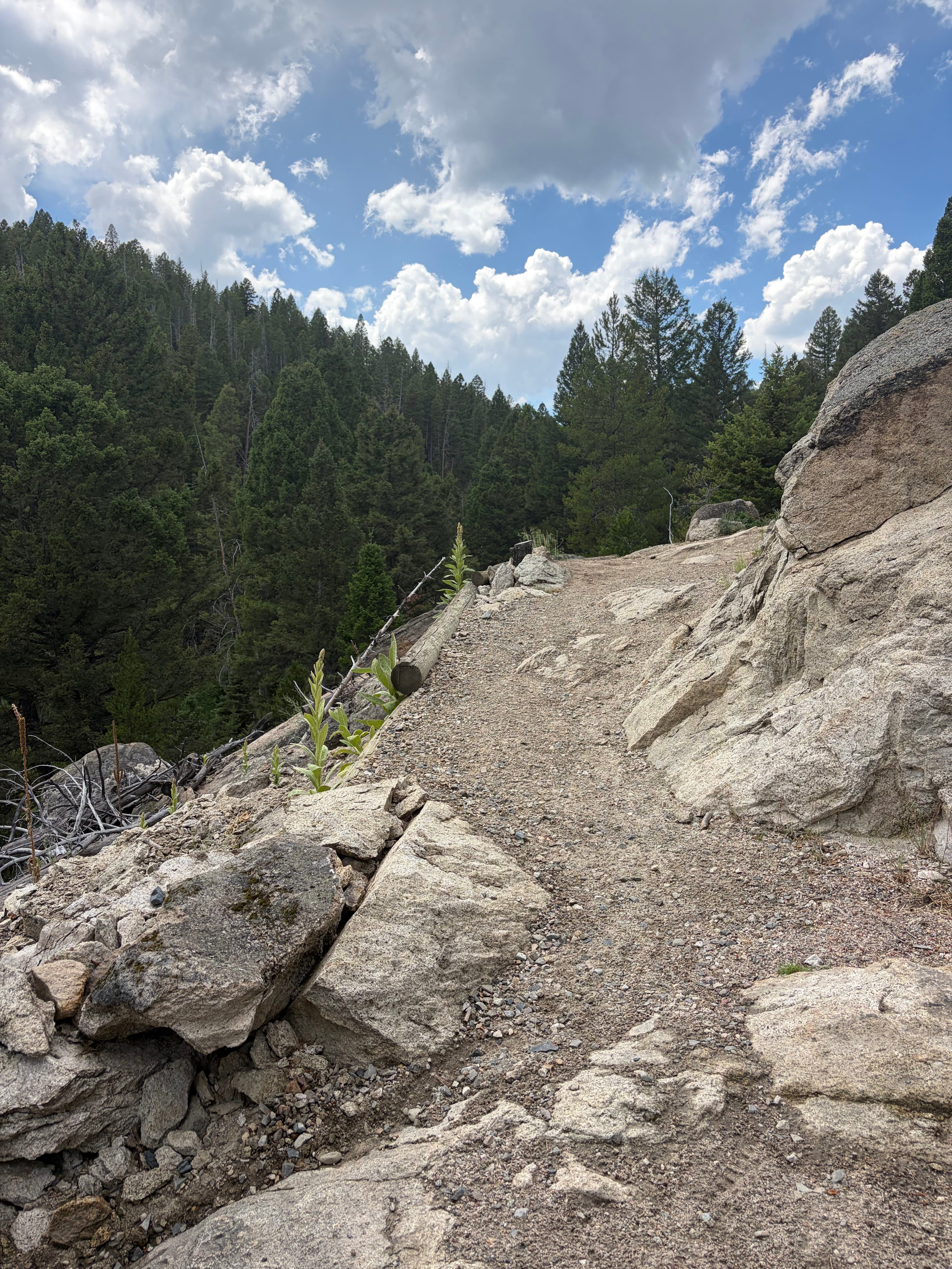
Finally, I hit the top of the 450-ft loop, and the steep, winding switchbacks began. I stumbled my way down, counting down the distance on my watch. Finally, I could see the road through the trees below. After that, the end was a smooth cruise for the last half mile back to the start/finish area.
The Event Vibe
The harder the course, the better the vibes. I’ve heard it from good friends that the vibes are trail races and ultramarathons is unmatched but this was the first time I got to experience it for myself. I could probably write more but truthfully the first sentence sums it up best.
Takeaways and Areas for Improvement
Water dispenser and head lamp. Aside from those two missing items, the day couldn’t be more perfect. This definitely will not be my last trail race.
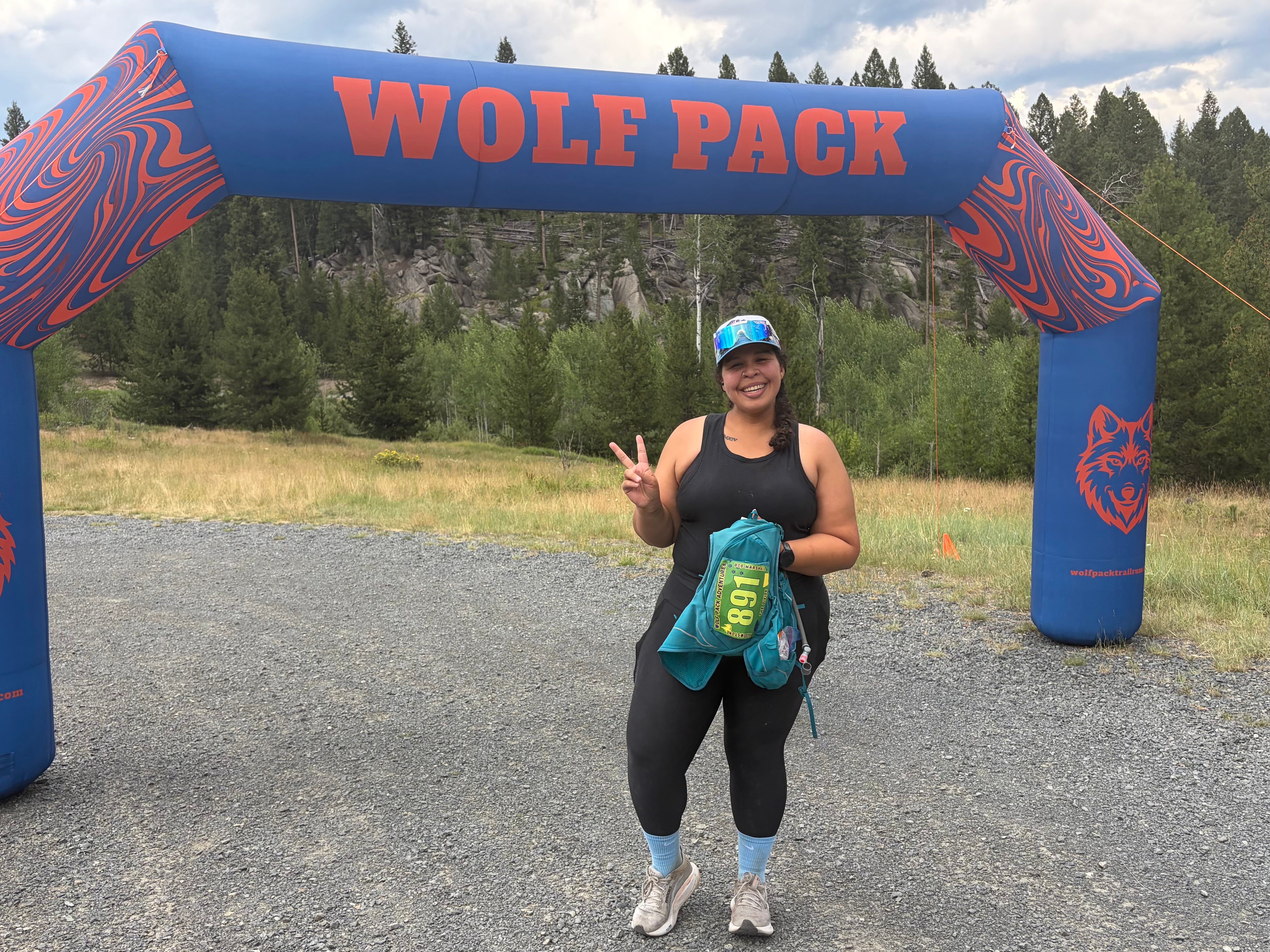
The Divide 25K was the perfect mix of beautiful views and challenging trails. I pushed myself and was surrounded by supportive strangers who genuinely rooted for my win. For me, racing has been pretty lonely and there is rarely anyone waiting to cheer me on at the finish; this has had its own benefits for me personally but it can be lonely. Trail racing allowed me to truly feel community for the first time and I did it as I tackled high levels of elevation and a significant difference. Finishing feeling tired but strong, with my cup filled, knowing I just pushed my own limits was the best I’ve felt to date at the end of a race. This was no doubt my favorite experience so far all year.
Last race: Skinny Raven Half Marathon
Next race: Smelter City Scamper 10K in Anaconda, Montana
You can check out all my 2026 Races here:

Wowww, love these pics!! Looks like such a cool course! Congrats!!